Special Substrate The Ancient Orogenesis Beneath New England Mountain Biking
Words by Dillon Osleger | Photos by Mark J. Clement
There is an awful lot of pride among mountain bikers along the eastern seaboard of the United States in relation to the word “jank”— especially in the northeastern peninsula of New England.
Originally a term used to convey the convoluted nature of roots and rocks that embody trails whose personalities skew toward an especially technical and thought-provoking nature, the word now stretches to describe the design mindset employed by many of New England’s builders who strive to maintain the area’s raw character.
The trails that have come forth from this dance between person and place have, in only a few decades, made the region a destination for Enduro World Series rounds, fostered countless budding riding scenes, and even transformed the local economies of some small towns by providing yearround tourism. New England has cracked the code of creating trails for riders of all abilities, a magic ratio of rolling cross-country networks, technical downhill tracks, and community connectedness that is being replicated elsewhere—something to emulate for those locales proclaiming themselves to be “Mountain Bike Capitals.”
But perhaps those in New England realize there are no “best trails” and that, rather, the best trails are those that evoke the place through which they meander. New Englanders, over those decades of digging and riding for six months of the year when conditions typically allow, have stayed humble and connected to the ground. In doing so, they have learned to work with 500 million years of earth history that once gave rise to peaks in their area taller than today’s mighty Himalaya. To ride in New England now is to move across the remnants of these ancient mountain ranges.
Orogenesis is the geological term for the formation of mountains, usually through tectonic plate activity driving rocks upward through compression. It is largely this process that has provided the underlying structure of New England’s signature jank—the jagged rock gardens, exposed ridgelines, granite domes, even the tree species that stretch tangles of shallow roots out across trail corridors. Understanding what makes this region and every individual community within it unique requires a respect for the literal formation of the landscape. For that, we need to go back in time.
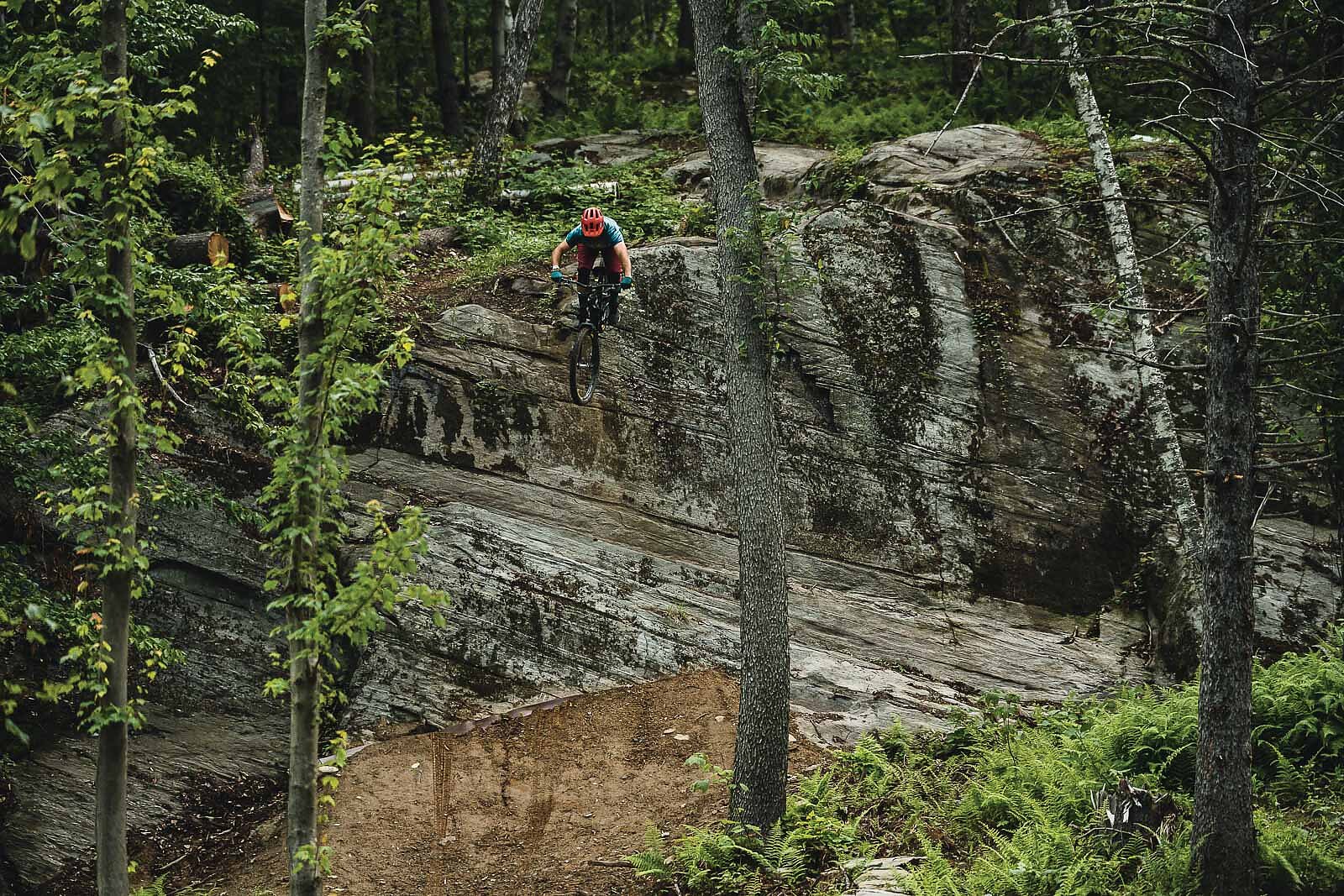
From the Cambrian period, some 490 million years ago, and throughout the Devonian period, what is now Bolton Valley—the highest elevation resort in Vermont—appeared instead as a white sand Jamaican beach.
Rather than the slick clay chutes and steep slabs of metamorphosed gneiss trailbuilders in the area work with today, the trails of nearly a half-billion years ago would have been blazed by some of the initial animal species on Earth, largely thanks to the appearance of free oxygen in the atmosphere. A rip down “One Love”—a nod to that prehistory—in Bolton Valley Resort’s bike park would have occurred not in North America, but at the edge of the supercontinent Laurentia.
Through the ensuing 10 million years, a line of volcanic islands out in the ocean increasingly crept closer until eventually colliding and congealing onto the supercontinent, adding what is today much of eastern Vermont, New Hampshire, Massachusetts, and Maine. As these land masses collided, the pressure of the rocks against one another forced the soft marine strata of the Vermont side to fold like an accordion, while the hard mafic minerals of the volcanic islands and beach sediments that were once between the two land masses resisted the pressure, opting to lift skyward instead. Those islands can still be seen today; they are the Taconic Mountains in the southwestern corner of Vermont as well as the Green Mountains range running down the center of the state. It is from these two ranges that trails at Killington Resort and Stowe are respectively derived. Between these mountains the weaker, folded layers have lasted as the dominant influence that drives the north-south trending valleys that define the rolling pasture lands and cross-country networks of the Kingdom Trails in Burke. Riders visiting this legendary modern trail system should be grateful for the progressive, multidimensional land-use agreement that allows for public recreation there, but they’d be remiss to not also utter a small token of thanks to the Taconic Orogeny. It was this original mountain building event that gave hikers, mountain bikers, and equestrians the canvas upon which they paint.
“Stepping across New England from west to east unveils a remarkable network of geology,” said Dr. Tim Grover, who worked for more than 24 years as a professor of geology at Castleton University, now merged as part of Vermont State University. “From my years riding in and watching the evolution of the Kingdom Trails, I’ve seen relatively young trails uncover both the dip slope and fault face layers of metamorphosed schist, the plutons of igneous intrusions predating the White Mountains, and the eskers and other geomorphic terrains that are indicative of glaciation. Even in one place, one side of a hill [compared] to another can make an enormous difference as to how a trail is ridden, and in turn provide diversity for opportunity in tourism.”
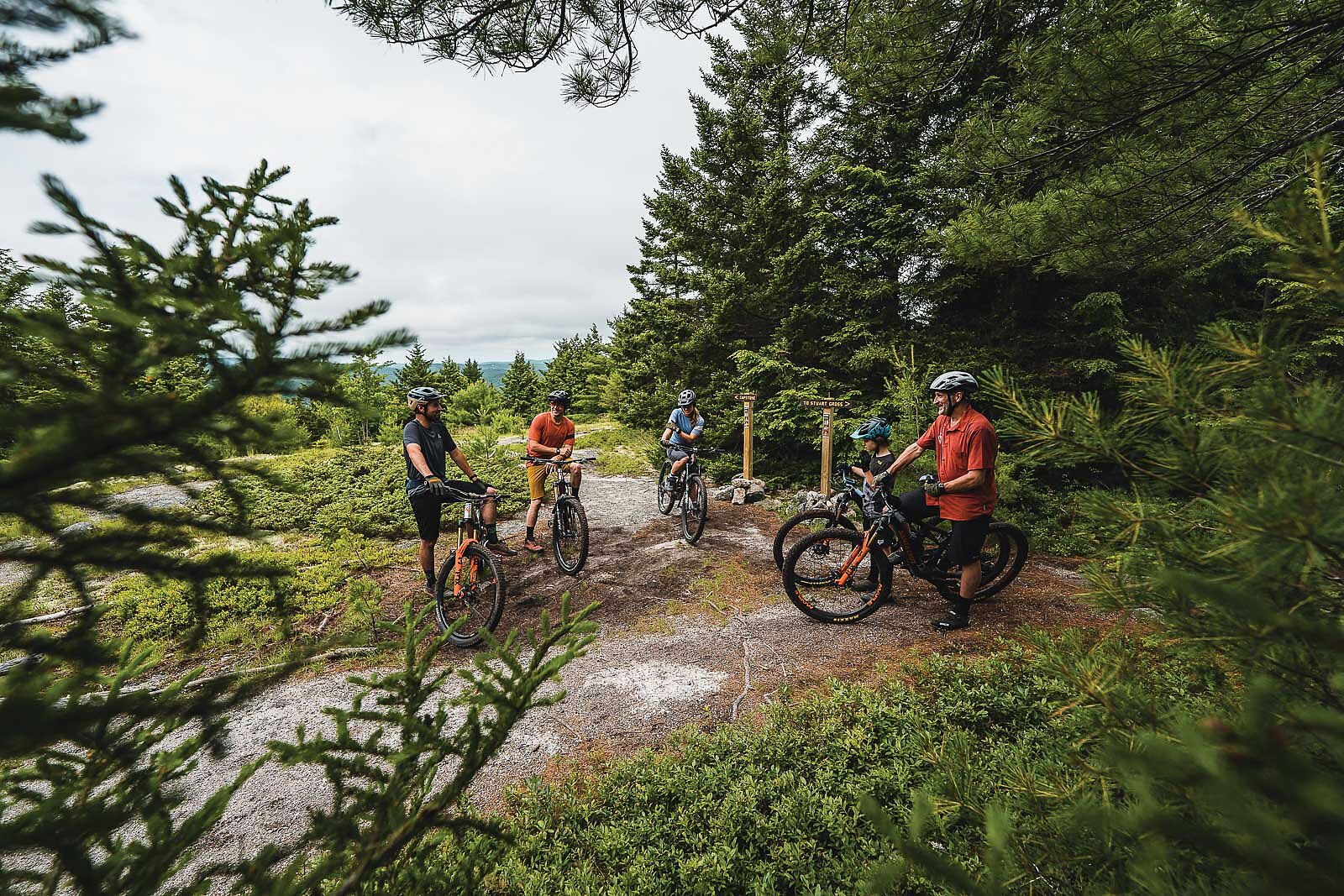
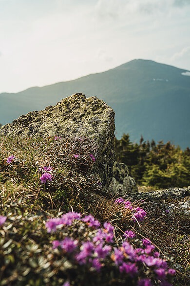
Dr. Grover noted that similar yet individually unique stories could be told about a litany of smaller towns across New England, highlighting the contrast between Woodstock and Ascutney, which lie only 20 miles apart but reflect geology of two distinct mountain ranges uplifted nearly 100 million years apart.
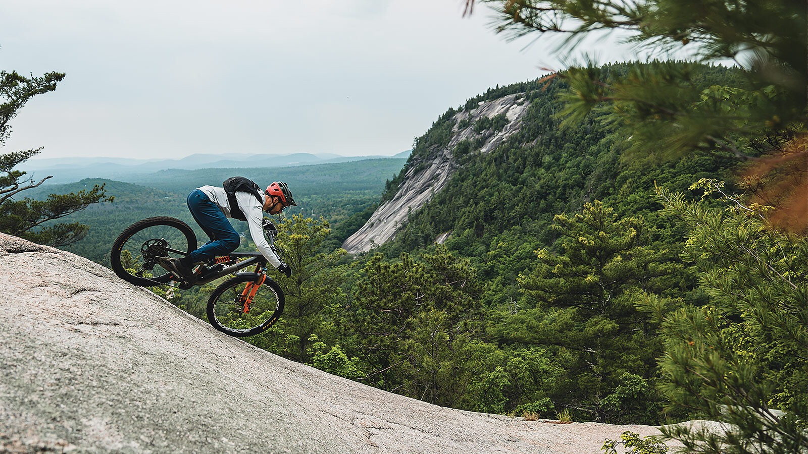
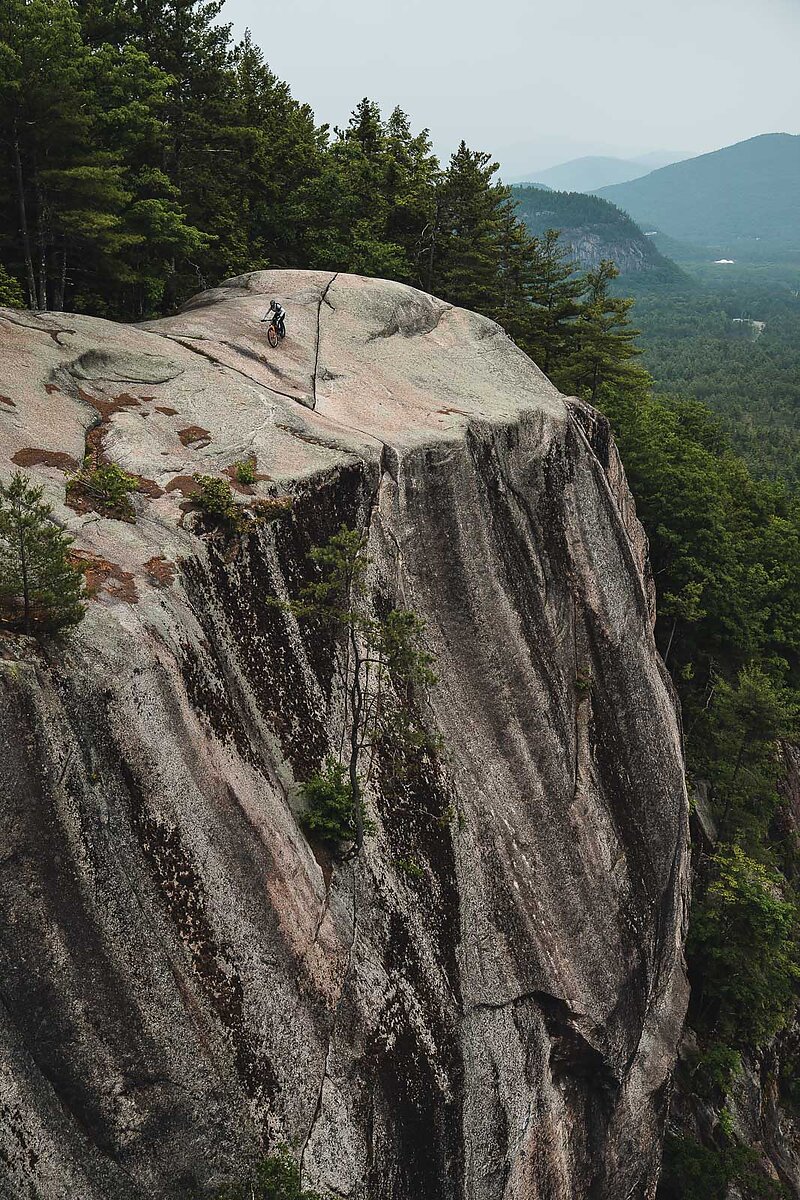
Thanks to high mantle activity allowing for tectonic drift, 40 million years after the Taconic Orogeny’s slow-motion cataclysm, the landmass that would eventually become Europe scraped the edge of the North American continent, causing yet another mountain building event as plates collided—the Acadian Orogeny. Down a dozen or more kilometers below the surface of what are now some of New Hampshire’s easternmost trails, the oceanic floor slid under the North American tectonic plate in a process known as subduction. As this oceanic floor dove down toward the mantle, heat and pressure liquified minerals creating plumes of magma that rose toward the surface through cracks formed during subduction. These masses of magma slowly cooled as they got closer to the surface, ultimately solidifying in place several kilometers below the modern-day Cathedral Ledge Trail in the White Mountains. Over the next several hundred million years of erosion, these rocks were exhumed and formed the granite slabs and tacky, sandy soils of North Conway. These landmarks eventually landed the state its nickname “The Granite State.” Whether that is truly due to its numerous granite quarries or whether it reflects its staunch stance to “live free or die” is up to the local flavor. Either way, the younger granite in New Hampshire certainly reflects its youth in rowdy topography.
From the Devonian to Jurassic periods, the world of 370 million years ago was calmer. There were fewer uplifts, less volcanism, and a stable sea level, although temperature began a slow and steady rise due to magma rising under New Hampshire. Massachusetts, which then had several valleys filled with seawater akin to the fjords of Norway today, progressively drifted south along with the rest of North America, which now lies just south of the equator.
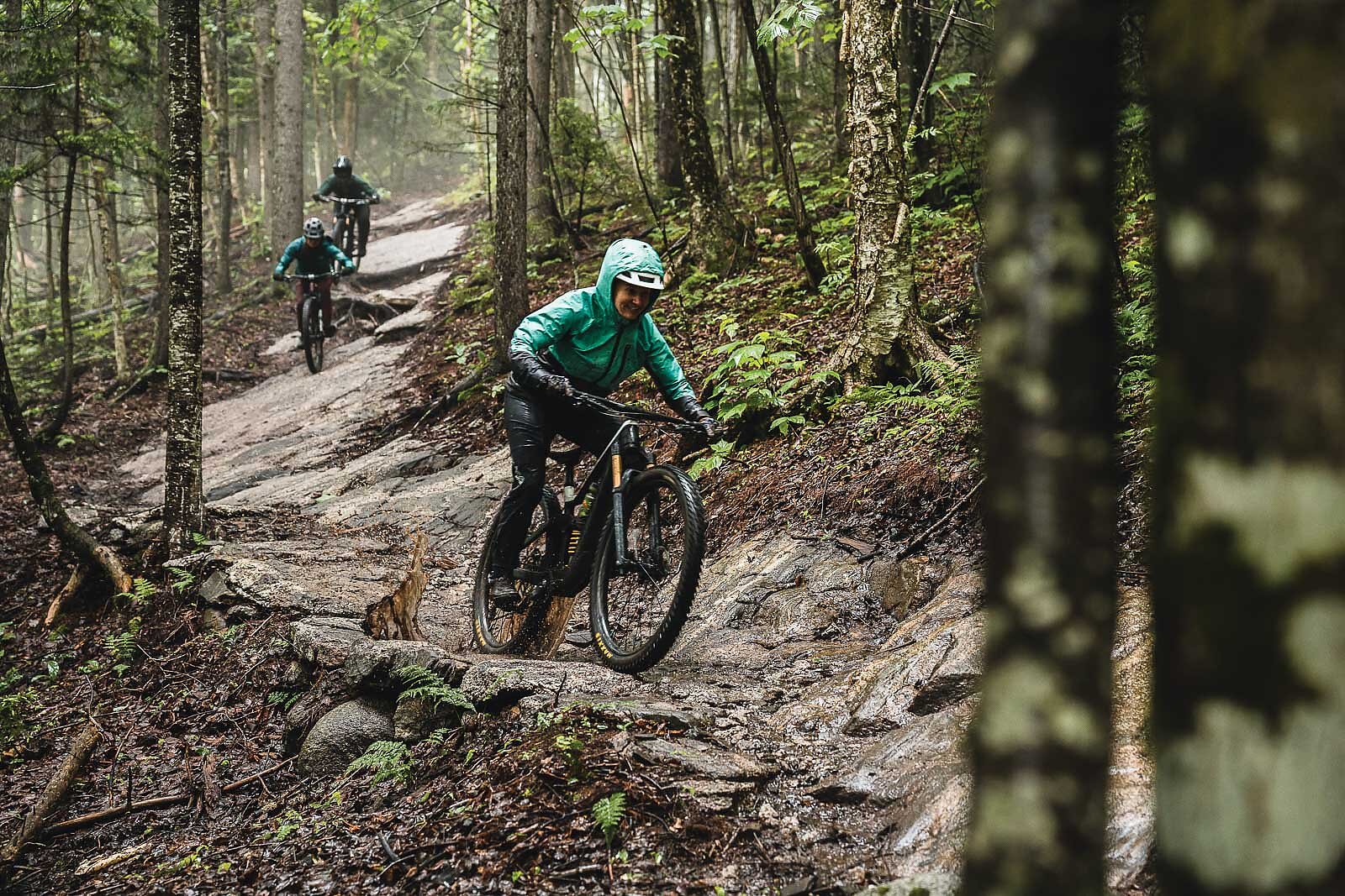
IT IS THESE ORGANIC FACTORS THAT PRODUCED THE WHOLLY UNIQUE SLATE UPON WHICH EACH LOCAL TRAILBUILDER IS CREATING A NEXT CHAPTER.
Far to the south, the rest of the continents on Earth were all one: Gondwana, a mass of land steadily being covered by glaciers. The distance between North America and Gondwana shrunk rapidly during the onset of this glacial period and the resulting collision, known as the Alleghanian Orogeny, made for mountain building of a colossal scale. By 250 million years ago, Earth was home to the supercontinent Pangea, crested by the Appalachian Mountains that resulted from this tectonic uplift. These mountains were not the rounded, stony masses admired today. The current Mount Washington would pale in comparison to the original Appalachia, which were of a scale that would rival the Himalaya or Andes mountains of today. These mountains were piercing, forever covered in snow, and towered four miles into the sky from Alabama to Newfoundland.
After 100 million years of mountain building, Pangea was pulled apart by the entropic nature of tectonic plates. This rifting took place parallel to the modern East Coast of North America and pulled the crust laterally, thinning it in much the same way as pizza dough stretching. This elongation encouraged cracks in the crust that filled with magma from the mantle below, creating crests that would, after many millions of years of erosion, stand out from the pastureland below as resistant ridges. These igneous and tectonic forces are now evident in the shale and basalt valleys of the Barn Door Hills that extend from Connecticut into Massachusetts.
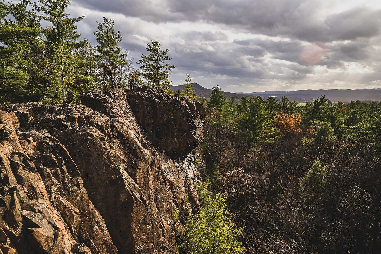
By 2.5 million years ago, from the Quaternary to the Holocene period, granite magma that rose to just underneath New England’s northern crust had aged like fine wine and begun to become exposed throughout Maine. Within the Carrabassett Valley, this terrain has been developed and built out into more than 70 miles of trails that wind their way between beech and maple trees, created by imaginative members of the Carrabassett Region of the New England Mountain Bike Association. Nearby, professional mountain biker Adam Craig and his trailbuilding cohort used the rocky slopes of Sugarloaf Mountain to host a round of the Enduro World Series in 2022. From this peak—the third tallest in Maine—one could have viewed miles of glaciers covering mountains further north in Canada. It was during the 450 million or so years between the creation and exhumation of these distant granite peaks that the continents drifted, like puzzle pieces across a table, so as to establish the Central American Isthmus, or modern-day Panama, that separates the Atlantic and Pacific oceans. Sea currents that had once flowed through were now diverted into the Gulf Stream, which in turn transported moisture to northern latitudes, increasing snowfall that accumulated upon the glaciers in Canada. Eventually, this feedback effect turned the glaciers visible from northern Maine into a milethick ice sheet known as the Laurentide.
As this ice sheet retreated under a warming climate 12,000 years ago, it left behind the granite cliffs, erratic boulders, and glacial lakes of modern New England. The relief from the weight of a mile of ice pushing down on the continent allowed for the tectonic plate to buoy upon the mantle in an effect known as isostatic rebound, which reduced sea level accordingly, up to 430 feet, and led to the establishment of the craggy shorelines of West Penobscot Bay. Today, trails in this area overlook hard breaking waves amidst peninsulas and lighthouses.
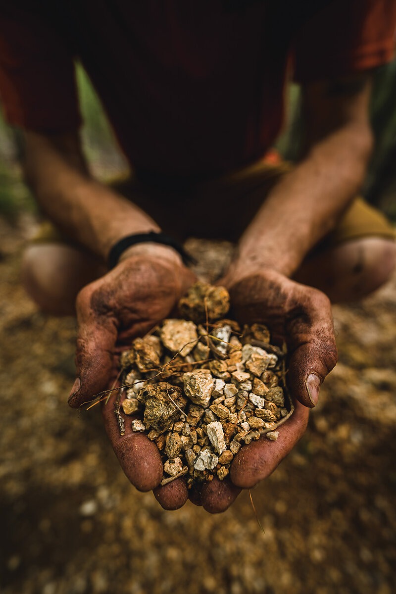
As sediment from erosion on the Green Mountains flowed into the modern Champlain Valley of Vermont it settled, with no rivers yet formed to carry it to the now much further away ocean. This clay-rich sediment eventually became the nutrient-dense soil that drives fertile agriculture in the region today. To the east, quartz-rich sediment from granite plutons filled the Connecticut River Valley to provide acidic, well-draining soils across New Hampshire. It was this simple matter of differences in weathering bedrock that endowed one state with sugar maples and others with white oak and white pine.
By the time English settlers touched shore in the 17th century, Indigenous people numbered more than 100,000 throughout New England, having long established their society across the territory. These Indigenous nations had founded a complete economy, trading between themselves for Vermont-grown vegetables, New Hampshire lumber, and fish sourced from Maine. These supply strategies were rapidly adopted by settlers as native people were displaced, as were the trails that allowed for Indigenous trading.
Following ridges, fault lines, and valleys, many of these early trails sought ease and directness of travel, lending the most obvious overland routes to become the thoroughfares of today. Much of New England’s modern pathways of travel, from interstate highways to Class 4 routes, lie over the Northeast’s very first trails. By the mid 1800s, railroads crisscrossed the state under a charter that required rail service to every town resulting in the need for more than 7,000 miles of track to transport lumber, steel, and coal. As swiftly as they had been built, the popularity of the automobile triggered a summary abandonment of the rail lines, leaving countless miles of benchcut paths to slumber in the woods. By the 1920s, the Appalachian Trail had been conceived and, spurred by the ensuing economic depression, was completed in the late ‘30s by the Civilian Conservation Corps.
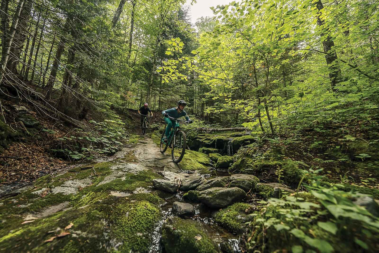
It is from these roots, as deep as bedrock and shallow as sugar maples, that New Englanders shaped their identity. The gentle rolling pastureland of Vermont that fosters cross-country riding and well-shaped, clay-based flow trails. The densely forested hills of New Hampshire, whose metamorphosed and volcanic substrates underly fast-forming loam. The granite domes and rocky outcrops of Maine that lend themselves to riding as hardy as the folks who live there. From the seemingly chaotic history of geology and climate, a place like no other. It is these organic factors that produced the wholly unique slate upon which each local trailbuilder is creating a next chapter.
Much of the impact of their labor can be seen in the country’s best riders, some of whom were successfully introduced to disciplines such as cross-country, enduro, gravel, and downhill via the region’s vibrant youth cycling programs. Many of these riders are now returning to their roots to develop races, trails, and their own distinct flavor of mountain bike culture.
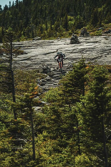
Max Southam, a Bethel, Maine raised rider, is an embodiment of this generational ladder. With parents who moved to the region for its outdoor recreation, Southam was afforded the mountain bike equivalent of the ball and stick sports experience that so many American kids see. His father was the coach of his high school mountain biking team, while his mother instilled in him a love for skiing and a keen eye for the environment. Eventually, he made the same westward migration of those who came 300 years before, settling in the Pacific Northwest to race bikes and attend college.
New England, however, is in his blood, and, after a half decade, Southam is right back at home, working with young riders at Gould Academy on a gravity enduro program, the same small, independent, outdoor-minded school where his dad coached him as a cross-country athlete decades prior. There, Southam is working to engage the next generation of riders in trailbuilding and community grassroots racing, as well as teaching them about the qualities that make the Bethel area special.
“[It’s] a community of young, old, endurance, gravity, and everyone in-between who have become passionate about the beauty of their environment and riding fun trails,” Southam said. Mountain bikers, as he puts it, are “rapidly spreading across the mountains of western Maine.”
Mountain bikers Peter Ostroski, born in North Conway, New Hampshire, and Adam Craig, hailing from Maine, are perhaps leading the charge when it comes to fostering a community of dedicated riders who truly seek to understand the land upon which they shred. Together, the pair created Trans New England, an annual enduro race and mountain bike gathering that traverses Vermont, New Hampshire, and Maine in search of the pinnacle northeastern riding experience. As participants sample some of the best singletrack on offer in New England, Ostroski and Craig make sure they also learn about the landscape, its communities, local trail organizations, and the history of the region.
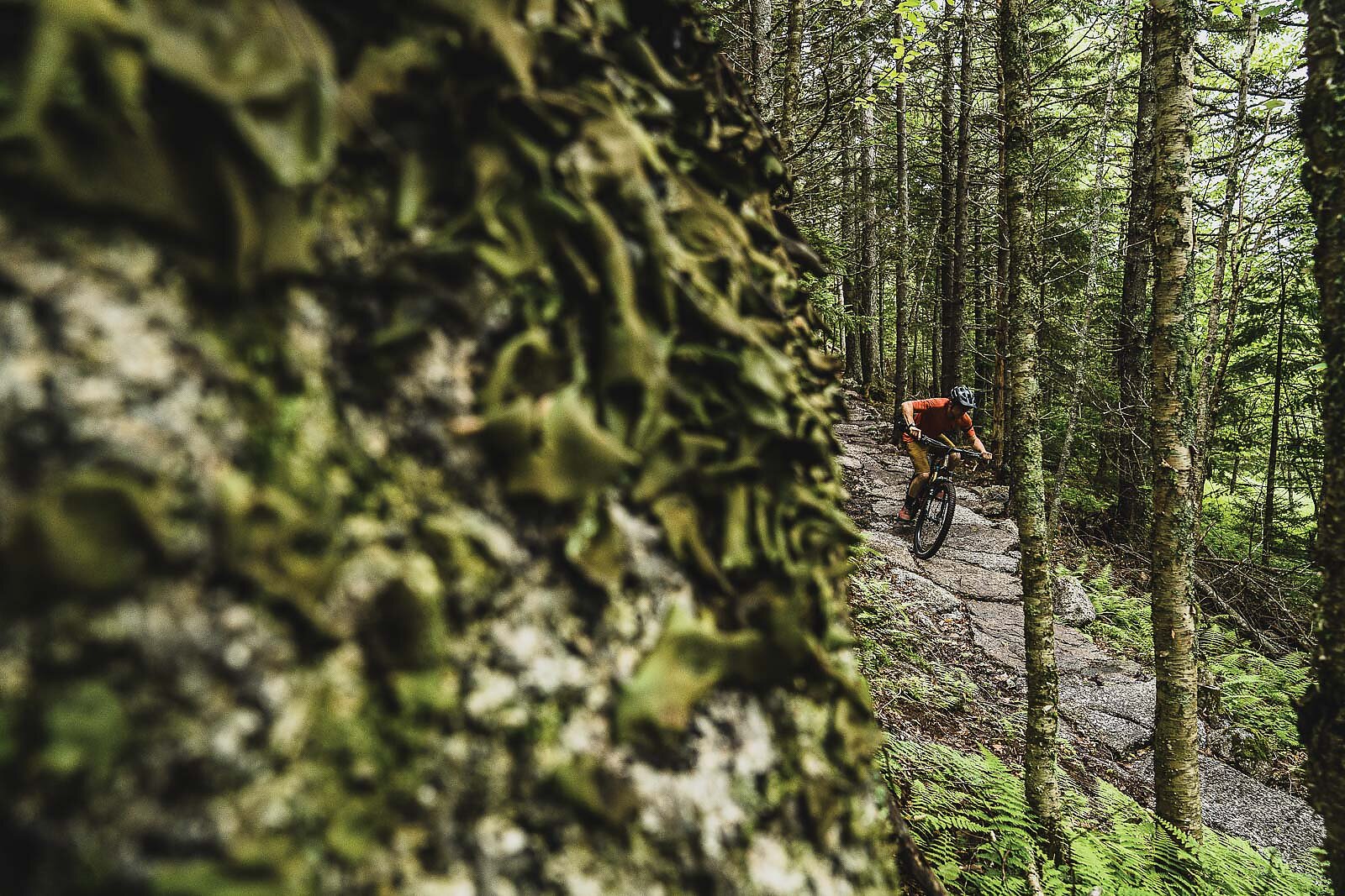
The organizers are uninterested in claiming any type of “best destination” status. To assume such a claim would be to undermine the very nature of New England—its people embodying the humble yet strong attributes of the surrounding granite.
“When you aspire to a certain experience, often that comes with an expectation of it being found,” said Craig, who acts as both the race host and head of trailbuilding at Sugarloaf Mountain. “For me, having traveled the world racing bikes for 20-plus years—all the while knowing that the riding at home in New England is all a person needs—it is a beautiful thing to remind locals and visitors alike that often times, it’s all right under your nose.”
At Trans New England, it all begins in a town founded prior to the signing of the Declaration of Independence, steeped in old stone walls and nestled between clay-rich hills where riders down creemees made from local dairy and maple—a plant that harkens back eons in Vermont. Days are thereafter spent riding early ski hills, watching black bears scramble up white pines, and experiencing the “live free or die” ethos to remind everyone that, beyond the perfect trails etched into its terrain, geologic circumstance 400 million years ago is what made New Hampshire one of the cornerstones that would drive the country’s destiny. Cold nights and long days in Maine show the best of what place and people can be.
Hard tracks and warm people are enough to suggest that the next orogeny is already here, it’s what is uplifting New England as a preeminent locale for mountain biking, having earned its place on the world stage thanks to the drift and unbending nature of its constituents.

