Diamonds in the Rough The Singletrack Gems of Sprawling Phoenix
It took the home air conditioning revolution of the mid-20th century before cycling could truly blossom in Phoenix’s oven-like heat.
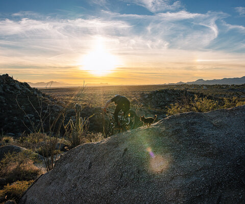
The Sonoran Desert, where Phoenix lies, spreads south from the lower half of Arizona down into Mexico and typically receives less than 10 inches of rain each year. Despite the heat and dry, it’s one of the most biologically rich deserts in the world. Many types of unique flora can only be found here, such as the saguaro cactus and the palo verde tree, which performs photosynthesis using its entire bark.
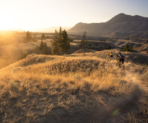
Ocotillos, prickly pear cacti, and cholla provide homes for desert tortoise, javelina, coyotes, and gila monsters. These creatures are all visible when riding through the Sonoran landscape. In the middle of this diverse ecosystem lies Phoenix, the fifth most populated city in the U.S. Here, mountain bikers enjoy access to miles of singletrack, often within riding distance from urban neighborhoods.
Before Phoenix became the capital of Arizona, it was an unlivable desert with no water access. The Hohokam people created 135 miles of irrigation canals from outlying lakes that fed water into the land where today’s city exists. These channels are among the most complex in the pre-contact western hemisphere and brought life to the arid desert.
The Hohokam inhabited the land from A.D. 200 to A.D. 1450. Some of their canals were more than 12 miles long and followed the Salt and Gila rivers. Later, these canals were expanded by early pioneering settlers as they moved west. They’re still in use today; the Salt River Project (SRP) recreational trails—a vast, 80-mile network of multi-use trails—follow the same paths as these ancient aqueducts and are a local favorite among Phoenix’s broader cycling community.

Today, mountain bikers in Phoenix ride through something akin to a large-scale, outdoor museum with each pedal stroke. Most of the local mountain ranges are named after tribes, like the Papago mountains or Piestewa Peak. Around town, you’ll find petroglyphs and archaeological sites left over by these ancient people who first laid foot here.
While lore of mountain biking’s birth resides mainly in Marin County, California and Crested Butte, Colorado, Arizona is home to another important landmark in the country’s cycling history: the first American Bicycle Association (ABA) BMX track. Located in Chandler and opened in 1977, it attracted those who would later become the first mountain bikers in the valley.
“Back then, if you were at the track, you were definitely building out in dirt fields on non-race days,” says Chris Sutton, a 7-time BMX national champion. “We had a front-row seat to the evolution of the AZ cycling scene.”
As cycling changed, so did Phoenix. Trail advocacy groups such as the Mountain Bike Association of Arizona (MBAA) were born to keep the cycling scene alive by cooperating with the Bureau of Land Management and the U.S. Forest Service. As volunteers poured hours into maintaining trails, legacy races like the Cactus Cup, which held its first edition in 1991 at McDowell Mountain Regional Park to the northeast of Phoenix, gave local riders places to gather to build community.

The family-owned bike shop, Landis Cyclery, has served cyclists in the broader Phoenix region for more than 113 years—since Arizona gained statehood. Brothers Bob and Dick Landis were the first in Arizona to modify existing bikes and take them out onto trails years before the first mountain bikes hit their father’s shop.
“I used a Schwinn cruiser and modified it to survive South Mountain,” says Dick Landis. “We put different tires on it, added parts and just tried to make it stronger.”
Dick is a third-generation owner of Landis Cyclery and started out building bikes at the Landis shop for 75 cents an hour in the early ‘60s. Laura Landis, CEO of Landis Cyclery, recalls being intimidated by taking the reins of the Landis brand.
“It’s such a big legacy to take control of,” she says. “I see Landis as continuing to be a pillar in Arizona because of our customer service, that’s how we set ourselves apart from big box stores or companies like Amazon.”
As legacy businesses like Landis Cyclery look to the future of mountain biking in Arizona, everyday riders are enjoying an ever-expanding selection of some of the Southwest’s most well-funded trail systems.
“We have so many people on our trails during winter,” says park ranger Brian Holtz. “The snowbirds come in from the colder regions of the U.S. and they love getting outdoors.”
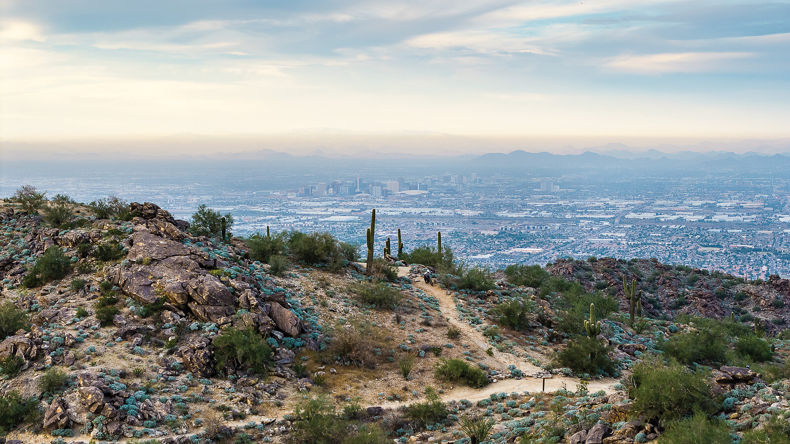
Getting outdoors in Phoenix is made more convenient by its unique topography, created during a major geological event some 15-20 million years ago which gave rise to the White Tank Mountains and South Mountain. These mountains jut up starkly from an otherwise flat basin which has allowed developers to build around them as the Phoenix metropolitan area expands.
These bedrock islands are easy to access, making the city highly traversable, with some trailheads accessible in only 15 minutes from the center of downtown. While other cities such as Denver or Salt Lake City are also close to mountains, Phoenix is different because it’s surrounded by vast, interconnected, protected natural parks within the boundaries of one of the nation’s largest metropolitan areas.
South Mountain has long been a staple in the Phoenix mountain biking community. Its sudden elevation changes and diverse views are some of the best in the west. It’s one of the largest municipal parks in the United States at 16,000 acres and is host to more than 100 miles of trail. Its high point, at Dobbins Lookout, offers 360-degree views from a perch of 2,330 feet. Here, tourists and locals come to gaze over the city as the sun sets, often in a kaleidoscope of colorful rays as depicted on Arizona’s flag.
Lower down the mountain, cross-country trails like Desert Classic feed the endurance crowd while the gnarly Mormon trail caters to those who like a serious technical challenge. Riders with a keen eye can find rock art and stone tools from the Hohokam on trails like Holbert, Telegraph Pass, and Kiwanis.
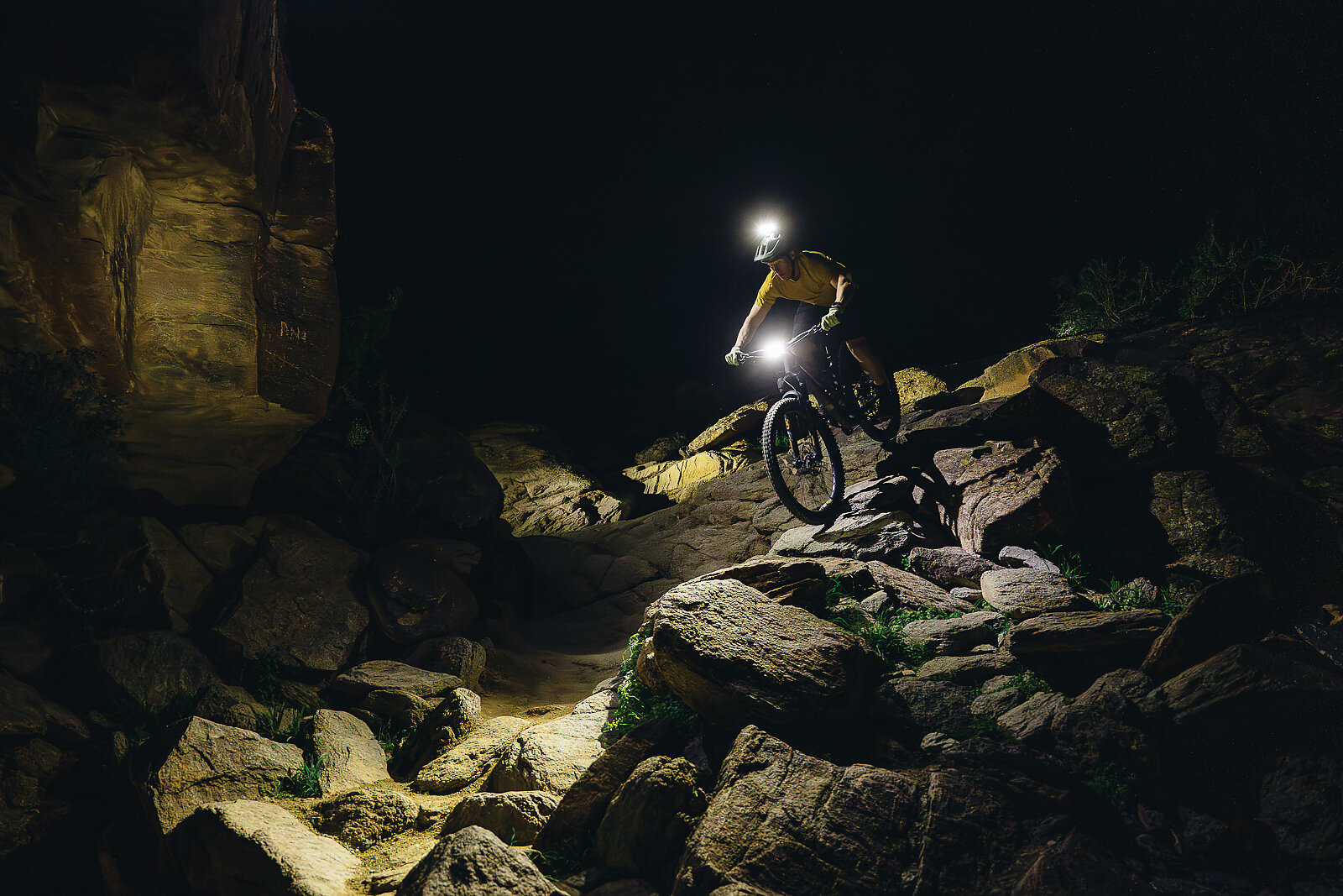
Nearby, the National Trail follows the spine of the entire range. From here, riders descend with views of the city and the desert beyond to their left. It’s an experience that leaves any mountain biker with a deeper understanding of why ancient people once considered South Mountain to be sacred.
The views from South Mountain are stunning, but locals know to not take their eyes off the trail for too long. Doing so can result in a swift meeting with metamorphic rocks like gneiss and schist—known for their ability to slice through tires and flesh with ease.
“SoMo [a popular nickname for South Mountain] is such a great time, it’s definitely on the more difficult side, and the terrain is very unforgiving, but with that you get some of the greatest descents in the valley,” says Rob Holden, a local, 28-year bike mechanic veteran. “When people bring their bikes into my shop I can tell where they’ve been. SoMo has that thin rock, it’s like steel wafers—when they hit your shins or frame it leaves a mark.”
The National Trail is perhaps the main local attraction when it comes to mountain biking. Known for “the waterfall,” an infamous rock garden that will either throw you into six weeks of bedrest or earn you the wildest GoPro footage of your life. On weekends, dedicated shuttle services like the “short bus” take riders up to the halfway point so they can bomb back down. Others like to challenge themselves and climb up the trail.
“I love the shuttle service. I’m not a climber and the road up to South Mountain’s summit is a road bike-specific climb,” says local mechanic and rider Tim Sevend-Holway. “It’s like we’re in park season year-round minus the nice weather in the summer.”
The National Trail has sections comprised solely of giant schist slabs that need to be ridden with a high level of precision. Its climbs, while few, require superior body positioning because they traverse huge granite boulders.
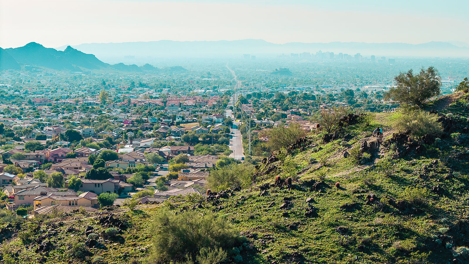
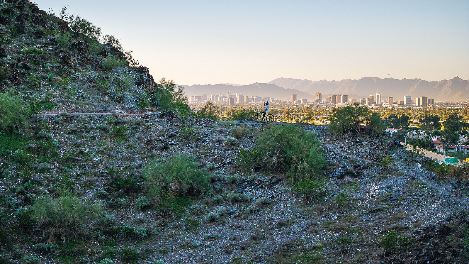
On the opposite side of town from South Mountain, lost in the sprawl of concrete and freeways, lies another oasis for mountain bikers: Trail 100. This trail system is so central in Phoenix that it passes under and over major freeways and roads.
“After work I can come directly to the trails without having to drive more than 15 minutes,” says Christopher J. Iñiguez, an avid rider and project manager for the City of Phoenix. “Being at City Hall located at the heart of downtown, I really am an equal distance between all my favorite trails.”
Officially called the Charles M. Christiansen Memorial Trail, it’s known as Trail 100 by locals. No matter where you are on trail, you’ll always see houses or downtown Phoenix. This vast interconnected system of trails within a thoroughly urban area is what Phoenix riding is all about. Essentially, it’s a city with a mountain playground at its center. Because of this central location, Trail 100 can get packed with hikers during the cooler months. But, like most Phoenix singletrack, there are so many offshoots that the congestion is never too hard to escape. Here, mixed terrain and varying levels of tech means riders can easily modify their routes to suit how they’re feeling on any given day.
Trail 100 is a testament to the preservation efforts of nature lovers within Phoenix to protect certain areas from development. The greater area is dubbed the Phoenix Mountains Preserve, and Trail 100 acts as the main artery into it. Much like our current era, Phoenix in the ‘50s and ‘60s saw a massive boom in population leading to overdevelopment. In 1971, citizens pressured the city council to protect these areas and, in May 1974, voters passed a $23 million bond allowing the City of Phoenix to acquire the land. Almost 12,000 acres in the heart of the city are now protected from development thanks to those early activists. One of them—Charles M. Christiansen—is now remembered and honored through the trail’s official name.
With multiple access points and a sprawling route, Trail 100 is known among Phoenicians as the go-to ride without ever having to leave city limits.
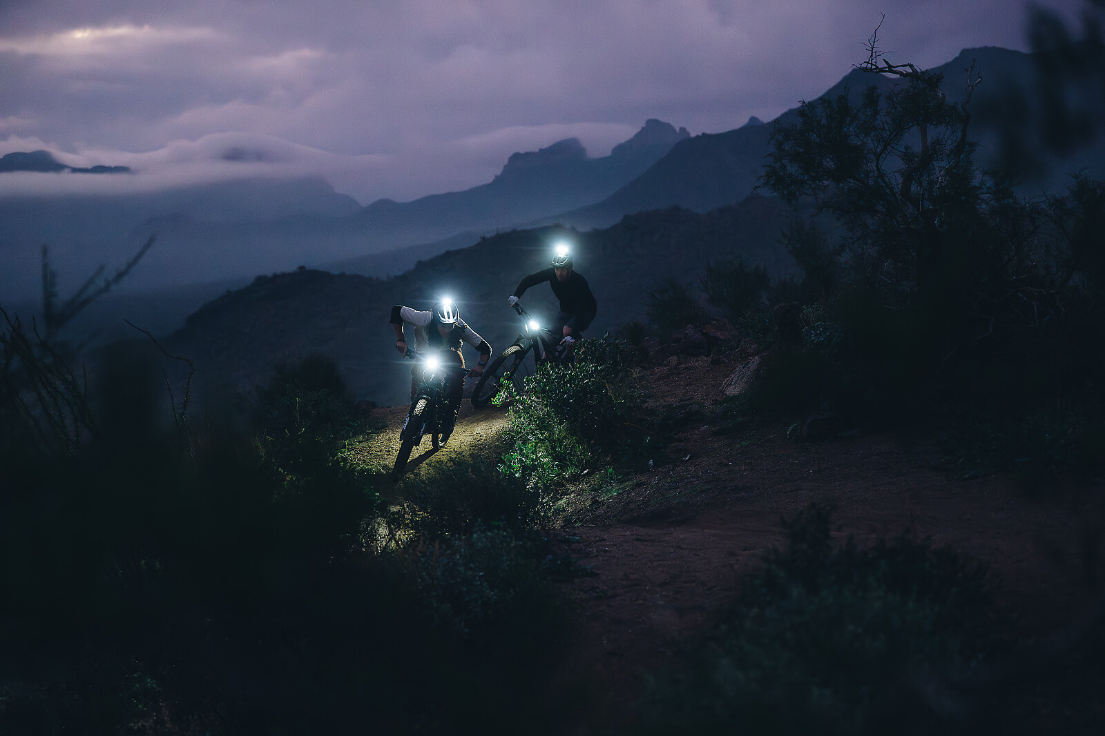
East of Phoenix, on the edge of the Tonto National Forest, lies the Hawes Trail System, which is part of the greater Usery Mountain range. It’s notable for its fast, well-groomed singletrack that’s maintained by the Hawes Trail Alliance nonprofit. On trail at Hawes, riders can encounter wild stallions lurking by the neighboring Salt River as endless saguaros tower behind them.
Located on land managed by the Forest Service, the singletrack at Hawes has very different dirt and rock than what’s found on trails in Phoenix. This system started out as a dirt road to access fiber-optic lines. Soon after, East Valley riders began developing their own trails. It wasn’t until 2018 that Hawes Trail Alliance formed and established a formal partnership with Tonto National Forest to make their trails legal.
On November 15, 2025, local riders, community members, and project stakeholders gathered to celebrate the opening of the Red Mountain parking lot. The new lot serves as a much-needed gathering place for Hawes trails that are quickly growing in popularity. The opening is a testament to the tireless volunteer work and the funds the group has been able to acquire to push for more mountain bike infrastructure in the East Valley.
Twisted Sister is a Hawes classic, with expansive views, rock drops, and jumps. If you’re not feeling confident, you can always ride around more intimidating features. There is a significant amount of climbing to reach the trail but it’s well worth it.
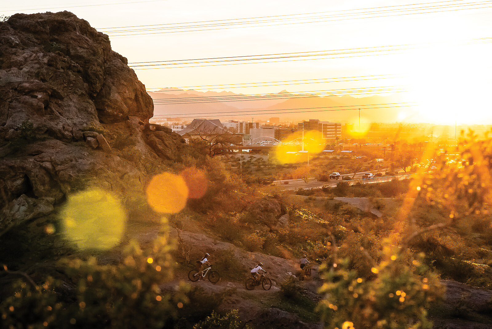
Standing out from other areas in Phoenix, Papago Park is known for its sandstone buttes. It’s also a popular hiking destination because of natural formations like Hole in the Rock and its proximity to the Phoenix Zoo and the Desert Botanical Garden. This is an area that has seen many changes over the years, including spans of time as a Native American reservation and a World War II internment camp.
Today, it’s a go-to destination for mountain biking because of its beginner-friendly trails. The elevation gain is minimal as trails typically loop around the larger peaks and rock outcroppings. Double Butte Loop is usually where riders start, but because of the interconnectivity of the trails it’s easy to make your own path. Papago South Loop might be labeled “green” but what it lacks in comparison to South Mountain you gain in flow and fun. Like Trail 100, Papago is directly in the city, with Arizona State University and downtown within view.
Papago’s trails, like so many in Phoenix, also share a connection to the Hohokam people. Here, they climbed the buttes to spot the sun’s position for planting. It was later recognized as a National Monument due to its unique features, but was decommissioned of this status in 1930 as conflicts arose around who would control its future.
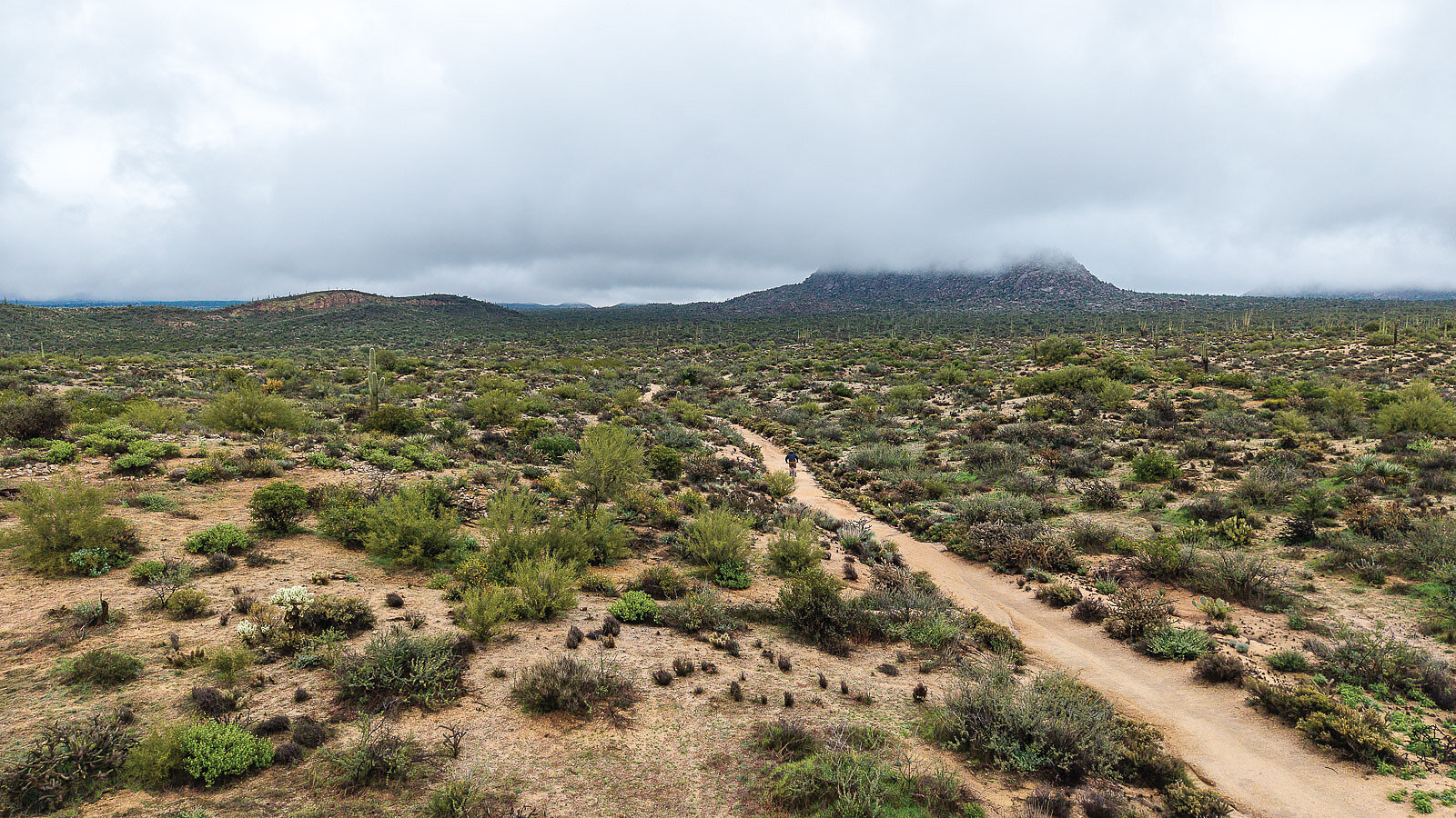
Northeast of the city in Scottsdale is Brown’s Ranch Trailhead, a massive, 150-mile system of interconnected trails that spans 36,000 acres. Everything from a quick 5-mile ride to an all-day epic is within reach. Most of the trails are crushed granite which allows for covering miles quickly, making it a favorite spot for cross-country riding.
The trails at Brown’s Ranch are clearly graded and color-coded—it’s easy to notice right away in the parking area that a lot of tax dollars are spent here. The land was acquired by the City of Scottsdale in 2000 by a voter-approved initiative to preserve it from development. It’s since seen $320,000 renovations to its parking and trail development and is continuing each year with new trails being added.
“Brown’s is the crown jewel of Scottsdale,” says Mary Pruiksma, a crew lead for the McDowell Sonoran Conservancy, a nonprofit that provides trail maintenance and advocacy support for the park. “Mountain biking has become extremely popular [here] in recent years.”

As bike use has increased, new trails have been created and adopted specifically with mountain biking in mind. Brown’s singletrack is multi-use and e-bikes are not permitted. Most of the system is bordered by the Powerline Trail, which acts as a natural perimeter.
“Brown’s is known for having little to no tech, I usually ride here after a major injury because the chances of eating it are slim,” says local rider Steve Ferrer. “If you’re creative, you can easily do 25 miles without hitting the same trail.”
The Granite Mountain Loop encapsulates the best aspects of Brown’s Ranch. The views, climbs, and descents are all here. At its peak you can see the outlying Horseshoe Dam.
Here, where the modern-day dam lies, is where northern mountain water runoff flows from into Phoenix. In 1867, pioneer Jack Swilling realized the potential for a continuous water supply and proposed “Swilling’s Mill” for Phoenix’s name. But Swilling’s business partner, Darrell Duppa, thought “Phoenix” would be more appropriate as a metaphor for a burgeoning city, built on the ashes of an ancient civilization, rising into something new.