Shred Reckoning Sedona Finds a Path to Harmony
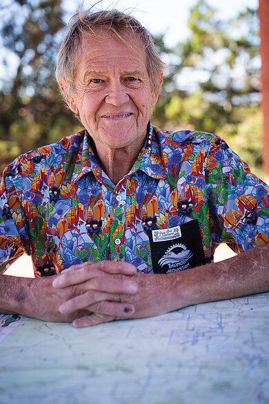
Phil Kincheloe unfolds his Sedona trail map and spreads it across the trailhead picnic table in front of us. His hand sweeps across the entirety of it, some 200 miles of tiny, squiggly lines.
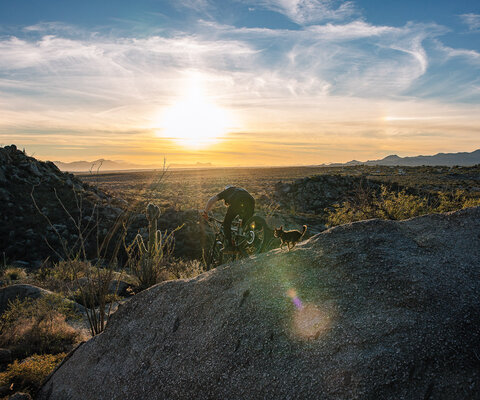
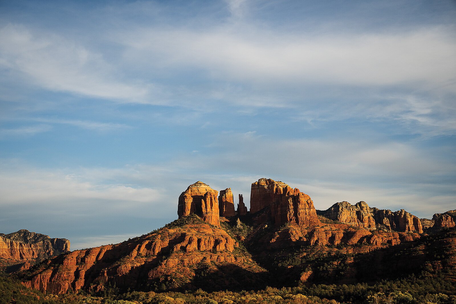
His dogs, released from his truck in a flurry of flesh and fur, run crazed circles around the trailhead, half-feral creatures who occasionally hop up on the table to wag furiously at him, nails digging into the map. Kincheloe, his sandy, greying hair standing up at odd angles, has the boyish face and crinkly blue eyes that make him appear younger than his 70-some years. Behind him in the distance sit several prominent geographical features of the West Sedona landscape: picturesque red escarpments, rugged cliff sides, and dramatic towers, like shrines, encircle the horizon. Their names forebode the perils of the desert environment: Dry Creek, Devil’s Bridge, Thunder Mountain.
“I lived right here,” he says, pointing to a location next to what is now the Cultural Center trail system.
“I used to go out my door with my dogs and just walk. There were no trails,” Kincheloe says, as he identifies an area now flush with them. “I’d walk, and I’d just kick a rock out of the way, move a downed tree, you know. Next thing you know, there was a trail. That’s how I started.”
The scene Kincheloe describes is almost hard to fathom considering current-day Sedona, a global mountain bike destination rife with world-class trails, but he’s been there every step of the way.
First settled by white inhabitants in 1902, Sedona’s early origins were as an agricultural community. It’s been in the process of redefining its identity ever since. Even the town’s name was reinvented. The first attempt was a mouthful: Schnebly Station, named after an early settler to the area. It didn’t stick, likely for the better. Sedona saw its first influx of tourism during the boom of Western movies in the 1920s. The dusty landscape made a perfect backdrop and it quickly became a Hollywood darling. In the 1940s and 50s, Sedona embraced the arts, with galleries springing up and the popular Arts Center opening. The area became known for its blend of both modern art and Western-style paintings and is still considered an arts destination. Then came the retirees, followed by second-home owners.
The current association of Sedona as a spiritual center and haven for psychic energy was a relatively recent development. In the 1980s, an American psychic named Page Bryant identified the locations of supposed “vortexes”—natural points of intensely focused energy in various sites surrounding the town. Sedona’s reputation as a place of mysticism quickly grew, dwarfing many of its other identities, and tourists flocked to the area to pay homage to these sites. The reverence paid to the psychic qualities of the town is easy to disparage. The self-serious nature can be cloying, and when every other storefront advertises vortex tours and chakra readings, the total effect can feel like a tired charade. But this identity has persisted. Sedona is possibly the most scenic place one can visit where in the foreground there’s a barefoot man wearing a cape, contorted into a lotus pose, with no apparent irony.
For a town with such disparate identities, it’s perhaps fitting that the history of mountain biking has also faced multiple reinventions, marked by controversial, unsanctioned trailbuilding, disagreements between rogue builders and land managers and, eventually, a peace accord that preceded further development of one of the most famous trail networks in the world.
Kincheloe moved to Sedona in 1991 from the tiny town of Cody, Wyoming. At that time the riding community was almost nonexistent, as were the trails. A small group of riders existed, often led by Sedona legend Rama Jon Cogan, or “Rama.”
“There were a handful of us, and we would go out and wander around the desert, exploring the area and kicking in trails,” Kincheloe says.
By this point, he had traded in his steel hardtail for his “first nice bike” and a strong desire to ride the areas he had been hiking. He started laying tire tracks to the trails he had walked into existence. It was fun, so he began looking for areas to build mountain bike trails. Kincheloe’s first bike-specific trail was the Airport loop.
“I kept walking the loop, kicking away rocks, and finally I brought my bike up there,” he says, staring at the map and tracing the route with his finger around Airport Mesa. “I put up a small wooden sign that said, ‘Airport Loop.’ It lasted three days before the Forest Service took it down.”
Other builders were doing the same. Slowly, steadily, secret trail systems sprouted up. Sedona’s newest existence as an outdoors community was covertly being born.
The humble origins of the unsanctioned trails sound quaint in their retelling. But, like most things that can exist sustainably in the clandestine, they falter in the face of exposure. Sedona’s relationship with its illegal trails was on a path toward collapse. Kincheloe, one of the more prolific builders, responsible for gems such as Hiline and Slim Shady, waves his hand across the map again. The lines radiate outward, surrounding town.
“Almost all of this was unsanctioned,” he says, pointing out about 90 percent of the current trail map. As word slowly spread about the new trails, and usage increased from the original handful of riders, tensions formed. A breakdown was inevitable.
The tipping point came in 2007. The unsanctioned trails had become prolific enough that the land manager, the U.S. Forest Service (nearly all of Sedona’s trails are located in the Coconino National Forest), took notice and made a bold statement.
“The Forest Service came in one day with full crews and dismantled both Slim Shady and the Hogs trails [including High on the Hogs, Hog Heaven, and Hog Wash],” Kincheloe says. “They felled trees and bucked them up, using the debris to obliterate the corridors.”
The local paper ran a front-page story that painted mountain bikers poorly.
“The city, the Forest Service, the media, they all were treating the bikers as detrimental to the area,” says Lars Romig, a longtime trailbuilder who grew up between Jerome, Clarkdale, and Sedona.
Romig got into the sport through BMX, then shifted into mountain biking when he started joining shop rides with Mountain Bike Heaven and the Bike and Bean, including the infamous Freeride Fridays.
“No one was engaging with the trails community,” he says.
Within days, the destroyed trails were back open. Local riders and builders, under the cover of darkness, snuck in and rebuilt what the Forest Service destroyed.
A back and forth commenced; a cat-and-mouse game of trails being closed, then reopening just as quickly. Locals splintered within their own small, tight-knit groups. The ordeal culminated in several high-profile arrests, with builders receiving hefty fines and bans from Forest Service land.
“I was watching this with the thought that this is dumb—it was such a waste of resources,” Romig says. “Meanwhile, I was over on Mingus Mountain [between Cottonwood and Prescott] working on trails, witnessing what was happening in Sedona. I realized that if I wanted these trails to stick around and be sustainable, I needed to change my approach.”
Romig joined the board of the Verde Valley Cyclists Coalition (VVCC), the local advocacy organization, in 2005. By then, he had gained a reputation within the core group of local riders and builders as the real deal; someone who both rode hard and cared that the substantial efforts being made by the builders wouldn’t meet the same fate as the much-publicized closed trails. In 2009, Romig, with the support of the VVCC and the Forest Service, organized a meeting with local clandestine builders. He had gained enough trust to get everyone to show up, no small feat for a populace not always known for integration. It marked the first small step toward changing the negative, cyclical trajectory the builders and the Forest Service were on.
That same year, Jennifer Burns stepped into the role of chief recreation planner for the Coconino National Forest, taking the reins of an organization badly in need of updating, at a time of intense strife within the community. Many in the community attribute Sedona’s turning point in policy to Burns, a lanky redhead with a long history of work within government agencies. From the start, Burns noticed several key issues: a previous recreation plan that had seen little to no work completed, demand that had been growing exponentially with a trail system underequipped to meet that demand, miles of illegal singletrack pitting locals against locals, and, finally, several strident anti-mountain bike types within her organization. Many in her position could have simply continued with the status quo, but that wasn’t Burns’ style. She immediately hit the ground running, instigating massive, sweeping changes. Results came quickly.
Burns had previously worked on the initial version of the dormant recreation plan, experience that was critical in effecting real change. She also wasn’t above reaching out to other communities to see how places like Moab, Utah, and Bend, Oregon, were approaching their management. She also knew some of the rogue builders and could engage them in conversation.
“I kicked off the there’s-a-new-sheriff-in-town strategy with an IMBA trail training event,” she says. “We had huge attendance and built Pig Tail, the first purpose-built bike trail in the district. It was a big success, and having IMBA involved lent legitimacy to the effort.”
It wasn’t long before several of the key players got on board, including Kincheloe. He met Burns at a trailwork day planned around the adoption of a trail that he had built. The two hit it off. Pretty soon, Burns was enlisting Kincheloe’s help to plan new routes.
“The Forest Service would come to me and say, ‘We need a new trail here’ and I’d go flag it for them,” he says. This relationship lasted for several years, resulting in many new trails being designed by some of the old guard builders, but this time sanctioned under the official banner of the agency. It was a successful pairing. Kincheloe’s involvement increasingly prompted more of the original builders to follow his lead.
Soon, many of the unsanctioned trails were also being adopted into the fold since they were largely well-designed and well-built. Why waste valuable resources designing a new trail when a perfectly good one already exists? It was an age-old existential question that Burns answered by inclusion, not the shame-and-blame approach as in the past, and it worked.
The changes taking place at the agency level helped usher in revision throughout all facets of the riding community. With the widespread adoption of many of the unsanctioned trails, there was less incentive for builders to continue to build illegally.
“I hardly ever feel the need to pay attention to the unsanctioned trails anymore,” says Mike Raney, owner of Sedona’s popular Thunder Mountain Bikes shop and organizer of the Sedona Mountain Bike Festival. “The sanctioned ones are so good and so well-built. Plus, the original adoption of the illegally built ones meant our trail network essentially doubled overnight.”
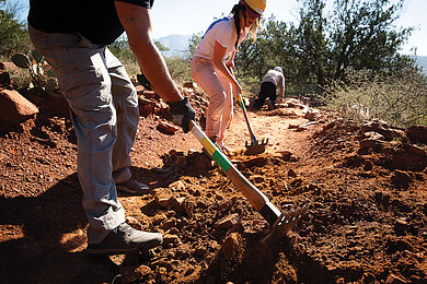
The change in leadership at the Forest Service brought increased energy at the local level. The current president of the VVCC, Tracy Randall, has led the push for greater mobilization of the volunteer base. Trail workdays hosted by the VVCC and the Forest Service can have exceptionally impressive turnouts. A workday in late 2025 on Hiline brought out more than 80 people.
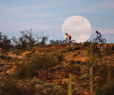
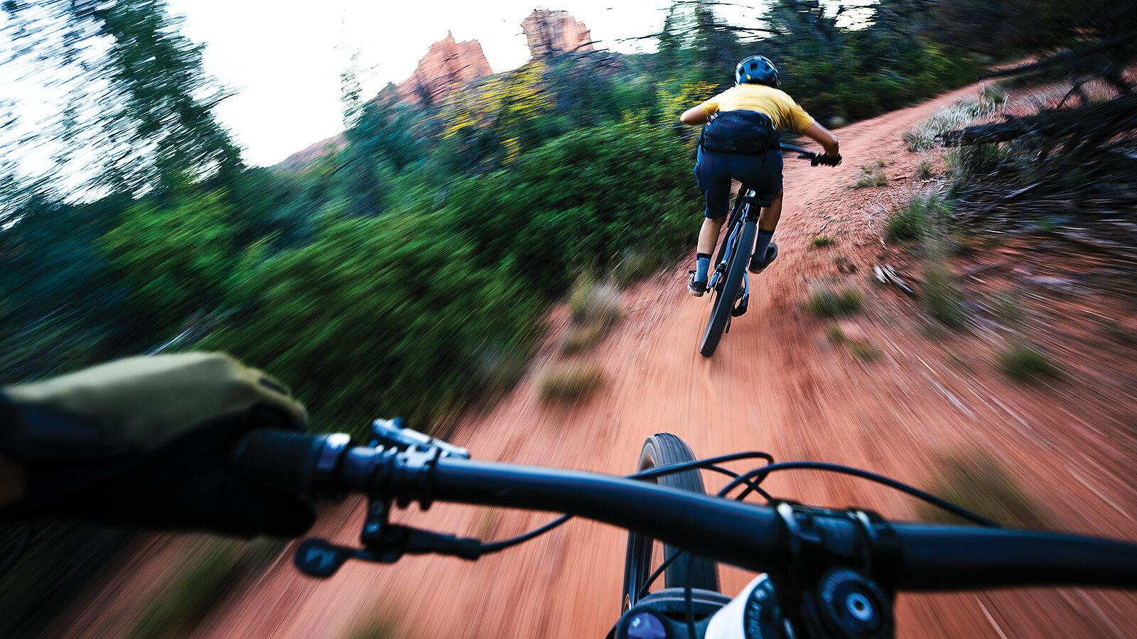
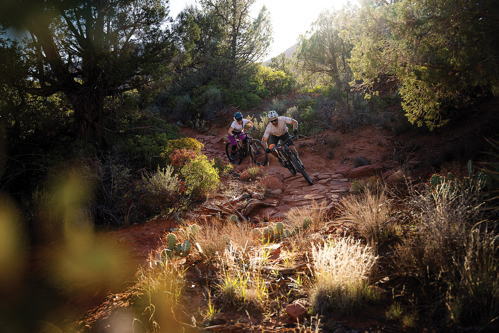
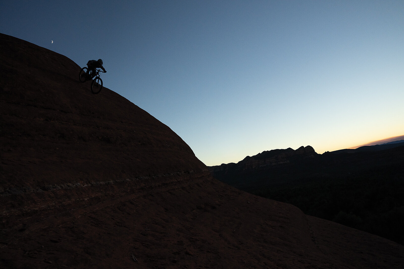
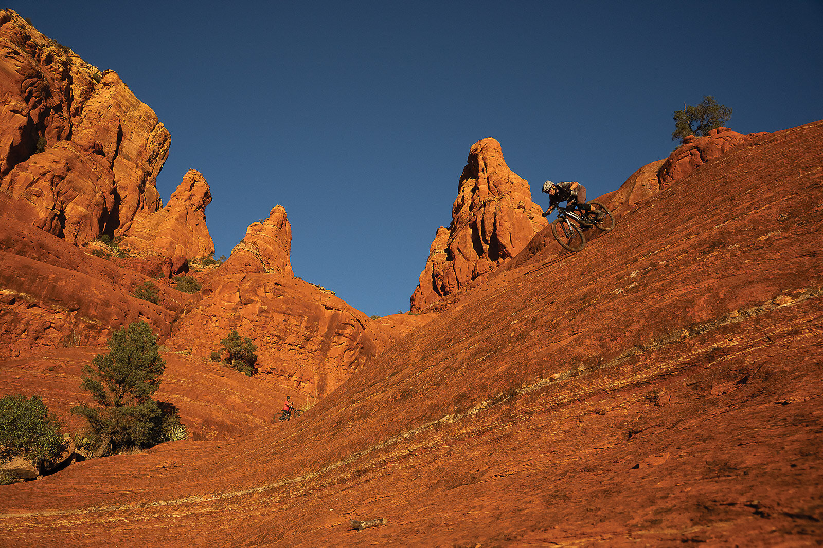
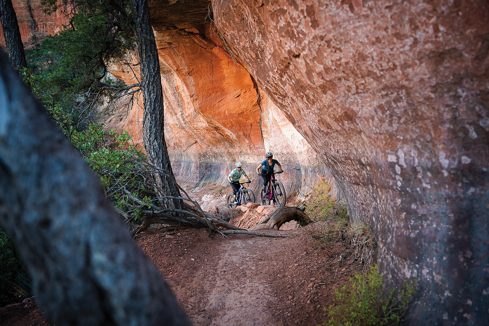
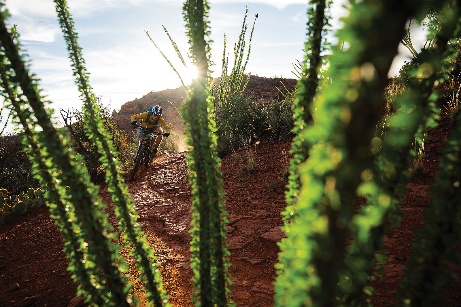
Today, the riding is better than ever. Sedona’s sublime—and exceptionally technical—singletrack has rightfully gained status as a destination worthy of the pilgrimage. The desert environment and subsequent erosion create terrain with very little respite from the constant challenge. Rock work is the norm and the frequent ramps, ledges, and steps mean riders must stay on their A-game or suffer often-painful consequences. True beginner trails are in short supply and there are no extended downhills—every ride is a constant undulation of elevation gain and loss. “Whatever your Achilles heel is with your riding, Sedona will take a magnifying glass to that,” says Amaryth “Amo” Gass, who moved to Sedona in 2015 with her husband Evan Puglia.
“People hear about the H’s [Hangover, Hiline and Hogs] and that’s what they want to ride,” she says.
These iconic, oft-referenced trails are of the caliber that soar above most people’s heads, so Gass and Puglia formed Sedona Mountain Bike Academy in 2019, intent on helping riders navigate the difficult terrain. The gap between most riders’ abilities and the landscape has inspired other coaching programs as well.
“There are two types of riders who come to Sedona: those who have to get off their bikes and walk, and those who lie about it,” says Joanna Yates, who owns a successful coaching program in Sedona.
Yates and her husband Phil experienced that gap firsthand. They coached at Snowshoe resort in West Virginia and considered themselves advanced riders until they rode Hiline during their first visit to Sedona in 2014.
“I got to the top of the chute and was like, ‘People ride this?’ This is insane,” she says. Joanna opened her business a few years later. Phil manages the guiding services for Trail Lovers, a local hiking and mountain biking guide company. Turns out, Sedona’s challenging terrain also serves as an economic driver.
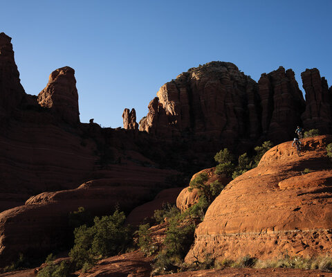
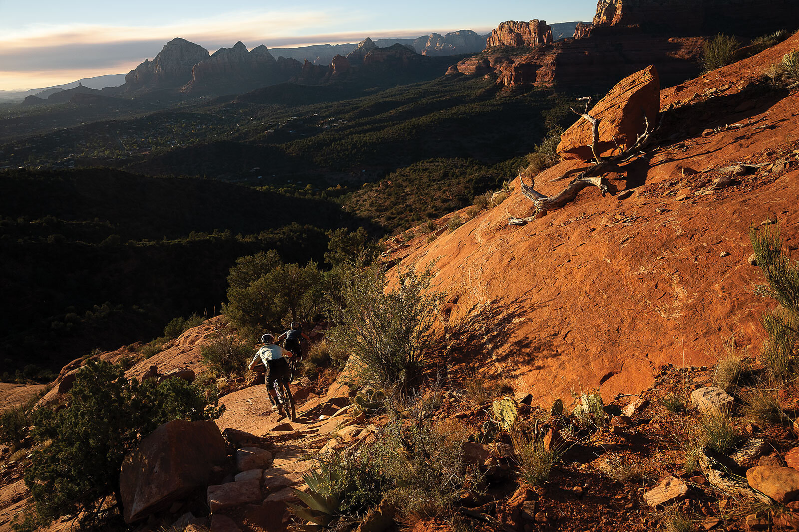
During an early fall morning in Sedona, I watch as Romig stares down an insanely steep gully. One line option rolls straight down the contour of the bowl, ending in a 20-foot mandatory drop. The other option skirts that drop, but careens down an unnervingly narrow ledge where a fall would likely mean a rescue operation. The first rays of sunlight illuminate Cathedral Rock above as Romig rolls effortlessly down the slickrock wall. This is Hardline, the latest addition to the famous “H” series, and the only one that was built as a sanctioned trail. It is by some accounts one of the most technically challenging, legally built trails in the region.
In 2017, Romig, having previously scouted the line, put together a build proposal for the Forest Service. At first it was turned down—the agency was occupied fulfilling previous obligations for more moderately designated trails, including a massive expansion of routes located at the Cultural Center in West Sedona. But Romig persisted and kept placing his proposal in front of the Forest Service staff. With several changes in personnel, the agency finally took notice, recognizing that along with easier builds, now mostly complete, advanced riders were clamoring for harder options. Construction began in 2024, with the completion of the trail in time for the annual Sedona Mountain Bike Festival in the spring of 2025. In its brief existence, it gained a reputation equal to its predecessors.
Romig, now down the last crux move—an absolute marvel of impeccably placed rocks forming the final ramp—stares up at the towers looming above. The sunlight fully bathes them, and the radiance streams into the gully below.
“I’m amazed this even got built,” he says, with a characteristic glimmer visible in his eyes.
It’s at this point, this culmination, that one can see a chapter of Sedona’s long and storied history coming to a close. It’s a moment that seems to signal a rewriting of its contentious beginnings. One that is representative of how far the community has come and what is possible when divided factions choose to work together as opposed to against each other. There are to-date more than 200 miles of trail within the city limits of Sedona, with an additional 200 in the larger county. The Sedona Mountain Bike Festival has grown to more than 5,000 participants over its three days. There’s a thriving advocacy organization busy mobilizing volunteers. New trail systems are in the works, with the latest expansion being the Turkey Creek area, which, when complete, will add 35 miles to the system.
The city, while slow to get on board, now sees mountain biking trails—and the tourists they attract—as a valuable asset, committing funding for maintenance through the Forest Service, staffing a trails coordinator position, and currently undergoing a robust examination of how best to connect the community via paved bike paths. It’s a new momentum that feels like the right direction to Randall, who’s now been at the helm of the VVCC for the past five years.
“My hope for the next 10 years is that Sedona sets the standard for how high-use public lands are maintained and expanded,” she says. “Achieving that vision will require that the City of Sedona, the Red Rock Trail Fund, and our community of volunteers continue stepping up their investment in the trails that define our town.”
The community’s current-day collaborative spirit will no doubt serve it well as it moves into the future, navigating the same kinds of issues that affect many thriving mountain destinations in the west, such as overtourism and changing trail-use designations—one that could be at the forefront soon as the proliferation of eMTBs causes land managers across the west to reexamine the definition of motorized and non-motorized trail uses and how class 1 pedal-assist bikes fit into the picture.
As for Kincheloe, he sighs and gazes out at the surrounding backdrop when I ask his final thoughts on the transformation he played such a critical role in starting. With the map still spread out in front of him, a visual reference to his contributions in the maze of trails that snakes through the landscape just beyond the table where he sits—trails that he largely created—he pauses, looking thoughtful.
“I guess it worked,” he says. Kincheloe then folds the map and calls his dogs. He’s going out for a walk.