Too Far to Turn Around Bushwhacking the Howe Sound's Goat Ridge
Words by Chris Johnston | Photos by Max Schumann
The top of the ridge was only 300 feet above, a negligible distance after shuffling along cliff edges for what seemed like miles, pushing, pulling and passing our bikes through the tangled alders.
That one vertical football field separating us from success, however, was impenetrable, impossible stone; our retreat, an alder-filled hell. With darkness climbing across the sky and no flat land in sight, one thought filled my mind: How did we get here?
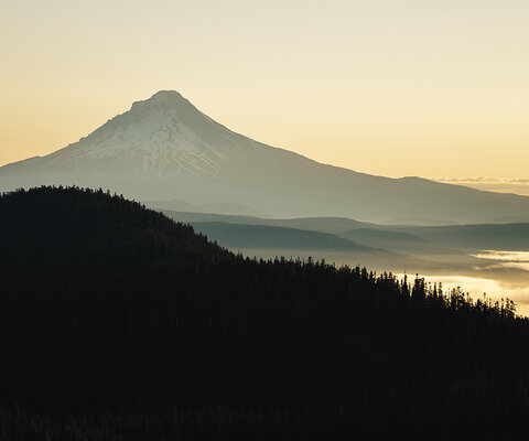
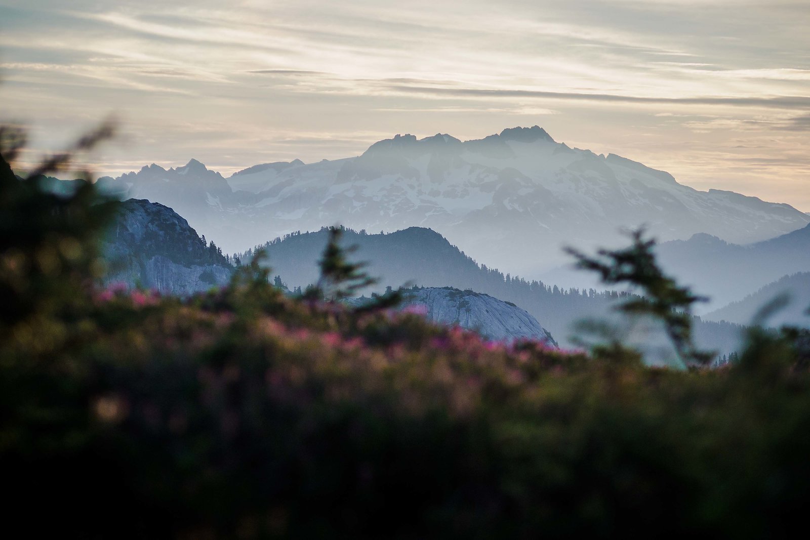
Winding north from Vancouver, BC, the Sea to Sky Corridor cuts through a world of towering peaks, stretching off in all directions. The tiny town of Squamish lies at the epicenter of this terrestrial madness. Directly above is the giant granite slab known as the Chief, and a little farther beyond are the even taller bald summits of Garibaldi, Sky Pilot, Mt. Habrich and Goat Ridge. While Squamish is world-renowned for its mountain biking, this string of summits is largely the land of climbers and mountaineers.
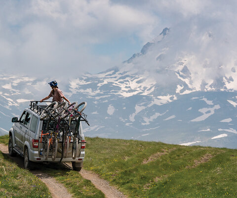
A few months earlier, my buddy Evan Powell and I began brainstorming an ambitious backcountry loop. Starting and ending in Evan’s backyard, it would take us up to the saddle of Sky Pilot Mountain and down the entirety of Goat Ridge to Howe Sound. The problem: no trail connects Sky Pilot and Goat Ridge, a distance of less than a mile. After extensive research, and hours poring over topo maps, we determined the only way to know if the route was possible, on foot or with bikes, was to try it. We recruited two more team members, Max Schumann and Tim Wilding, and started packing.
A few months earlier, my buddy Evan Powell and I began brainstorming an ambitious backcountry loop. Starting and ending in Evan’s backyard, it would take us up to the saddle of Sky Pilot Mountain and down the entirety of Goat Ridge to Howe Sound. The problem: no trail connects Sky Pilot and Goat Ridge, a distance of less than a mile. After extensive research, and hours poring over topo maps, we determined the only way to know if the route was possible, on foot or with bikes, was to try it. We recruited two more team members, Max Schumann and Tim Wilding, and started packing.
A few days before our departure, Evan got a lead that a local mountaineer, a woman in her 60s, had recently flagged a hiking route. Though we had no idea of the woman’s experience or skill set, it gave us hope the route was actually possible—and, more importantly, that we weren’t setting out on a mission of death.
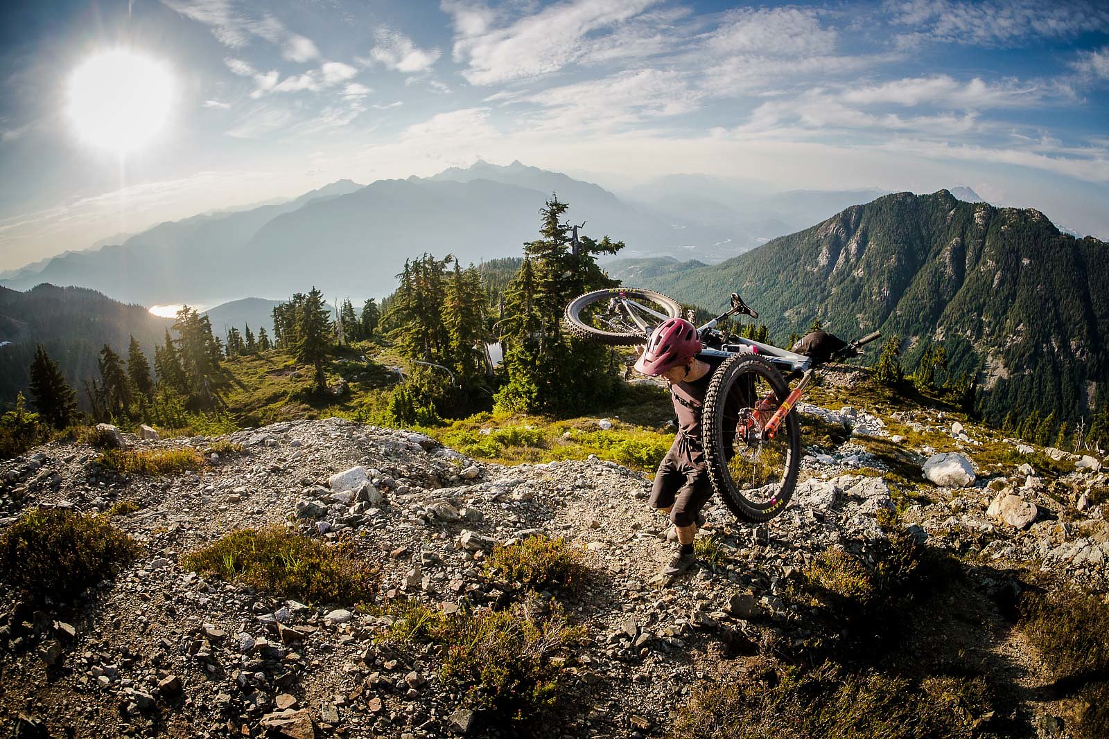
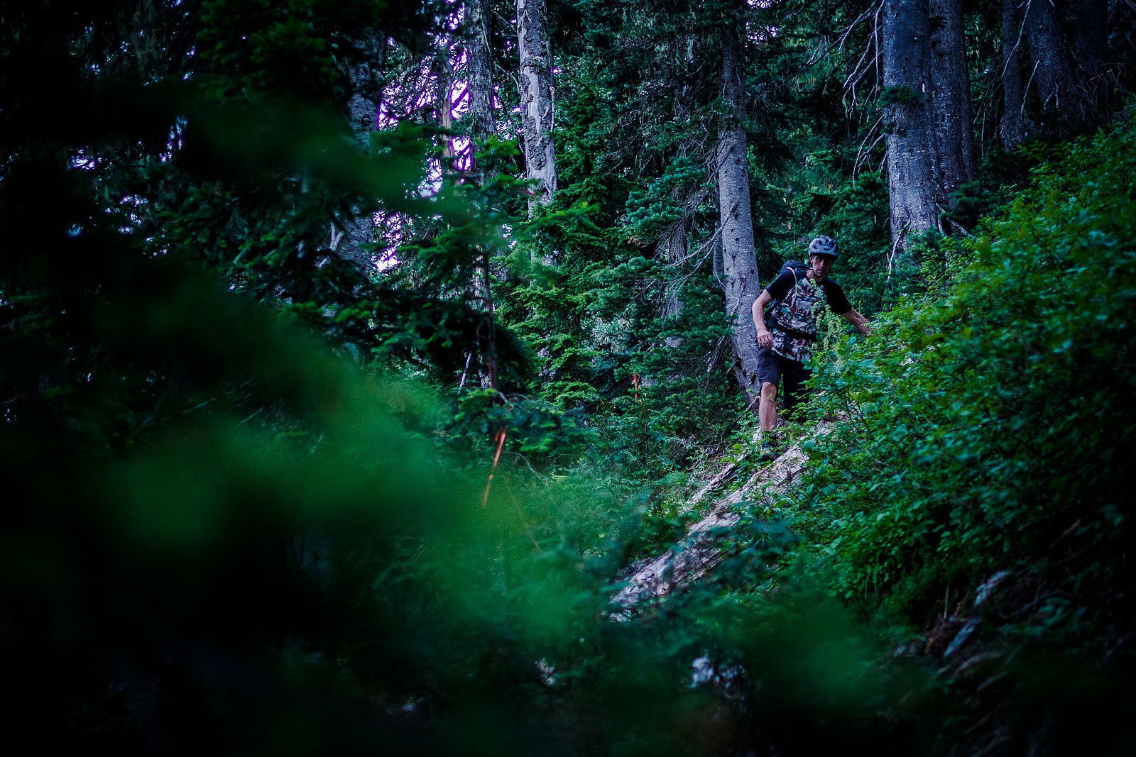
At times we crawled across exposed cliffs on all fours, passing our bikes to each other down the line; at others, we bashed our way through thick stands of alders, barely moving at all.
It was late afternoon when we reached the saddle of Sky Pilot, where the trail ended and our “fun” began. After a short search, we found the first ribbon marking the woman’s route and dove into the dense brush covering the 50-degree mountainside. It only took a thousand feet of bushwhacking before I started questioning the wisdom of this ambitious idea. Things got worse from there.
At times we crawled across exposed cliffs on all fours, passing our bikes to each other down the line; at others, we bashed our way through thick stands of alders, barely moving at all. While crossing a steep clearing of wet alpine grass and lilies, Tim lost his footing and slid some 30 feet down the precipitous hillside. He caught himself, but it was a reminder that we were in serious terrain with clear barriers to any sort of emergency rescue. It was a daunting feeling we had not experienced with mountain bikes before.
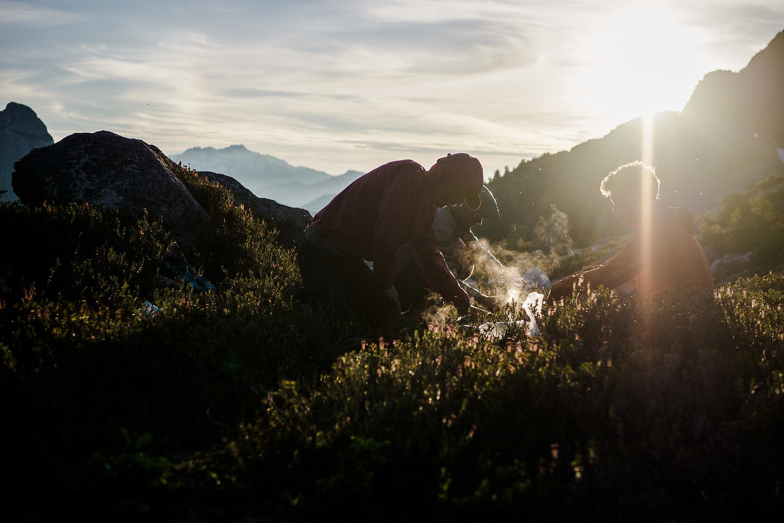
Then it was just those 300 feet blocking us from our planned campsite on Goat Ridge. Despite filling my mind, “how” we got here wasn’t the most pressing issue; forward or back, traversing the slope in the dark while carrying bikes was a terrifying proposition. The choice was made. We ditched the bikes right where we were and scrambled back to the safety of Sky Pilot.
It was 11 p.m. by the time we reached the saddle. The clear night sky was a mess of stars, draped above the glowing silhouettes of the surrounding mountains. As we set up camp, Max surprised us with four chilled cans of beer he’d stashed in a nearby snowpack. The beverages, which he’d hauled up in the bottom of his pack, were a solid boost of morale to complement our freeze-dried dinner.
The trek back to our bikes at dawn wasn’t enjoyable, but it was encouraging. The slope was much easier to navigate in daylight, and we were surprised at how far we’d made it— too far, we all agreed, to turn around now. It soon became obvious why we’d lost our route; from the last piece of ribbon we’d discovered, the middle-aged mountaineer’s route began zigzagging into the bluffs above, a task far simpler when not burdened by bikes. To make sure we didn’t get ourselves stuck in the middle of a cliff band, Evan and I decided to undertake a quick scouting mission.
Even without our packs or bikes, we were on all fours almost immediately. The ground was loose shale, any potential handhold broke off in our hands, and the exposure became increasingly consequential the higher we climbed. When we returned, we didn’t need to say anything. Max and Tim could tell by our faces that things didn’t look hopeful.
There was one other option, however. The topo map suggested there might be a break in the bluffs just around the corner; “might,” being the key word. There was no way to know for sure. And until this point, the topo lines had not accurately portrayed the terrain we were in. Though we were all feeling battered and exhausted, Evan’s enthusiasm was contagious. After surveying the map and considering a plan B option, we all opted to push on.
Just a few hundred feet and multiple hours later, we crested the horizon’s knoll and got our first view of Howe Sound’s turquoise waters swirling far below. The south side of Goat Ridge dropped away in sheer cliffs, running down valley as far as we could see. It was a stunning panorama; more importantly, however, was the trail running beneath our feet. We had made it. Everyone let out a huge sigh of relief. Tim dropped to the ground and gave the trail a huge hug.
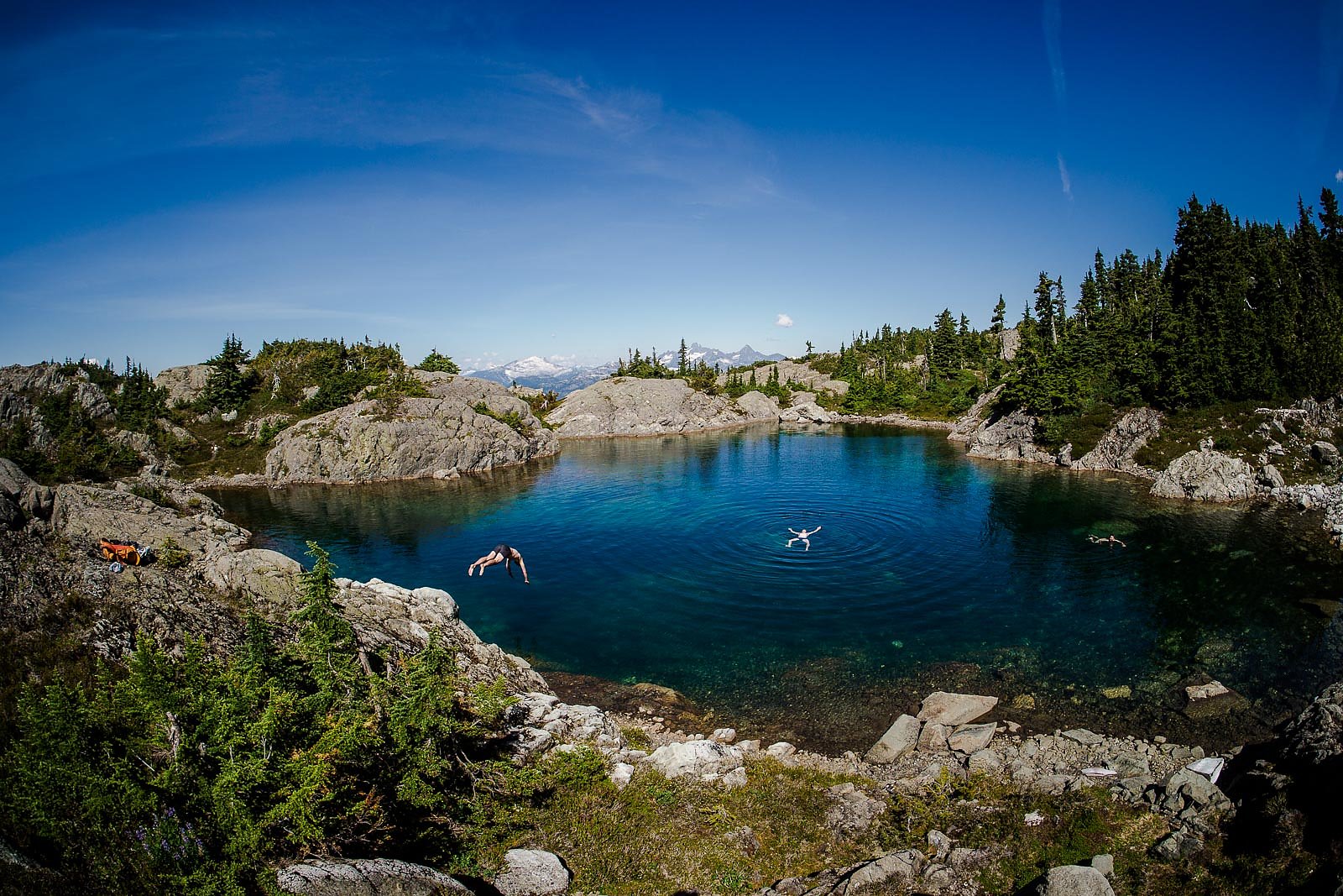
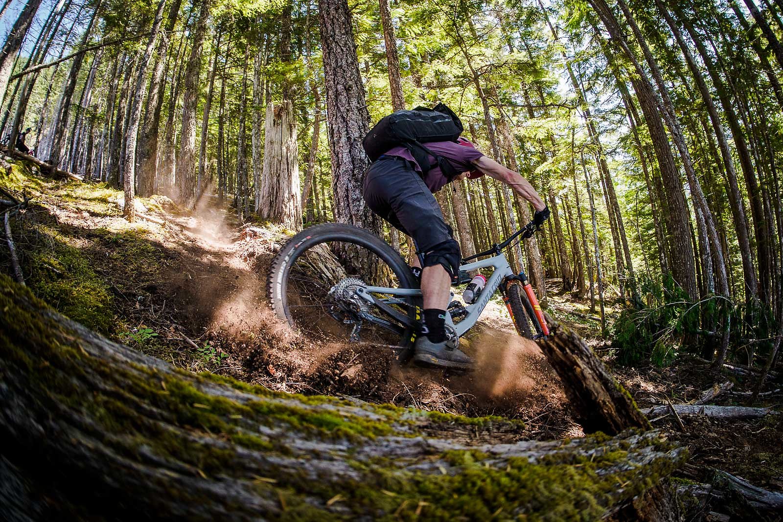
With 5,500 feet of descending in front of us, nothing could take our minds off the steep and chunky trip down—except maybe the alpine lake, where we paused long enough to soak our aching muscles before dropping into the slabfilled lower section. Loaded with gear, exhausted and ravenous, we made our way down the hill, exploiting every last emergency food reserve we had. We landed on the Sea to Sky Highway and began the pedal north back to Evan’s backyard. Only six flat miles remained between us and the end of our journey—nothing compared to what we’d just endured—but it seemed an eternity.
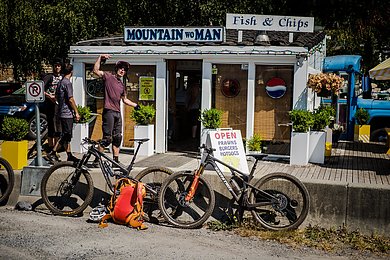
At the junction of the highway sits a small takeout joint that, until that moment, had never appealed to any of us. That day, it was our savior. We ordered everything: burgers, fries, milkshakes, sodas—a total calorie overload. Settling down with our meals, no one spoke of our hardearned success. That would come later. Instead we ate in silence, savoring every bite.
