Orogenesis A Trail to Build a Self On
Mill City, Oregon, rarely appears as a major point on maps. Incorporated in 1941, the town remains a small logging outpost of just under 2,000 residents, nestled an hour south of Portland along the North Santiam River.
The town still hosts two lumber mills along the river, both surrounded by an evergreen forest of Douglas fir, juniper, and maple trees divided into checkerboarded parcels owned by the state, U.S. Forest Service (USFS), and the Weyerhaeuser Company—one of the largest timber companies in North America. Gabriel Amadeus has made this small community his home, tending a cabin chock-full of maps of varying vintages that depict more than 100 years of changes at the western edge of the North American continent. The maps that blanket the walls of his office, and the excess that live in cardboard tubes filling the corners of the room, tell the story of land in the West through trails, roads, settlements, and geomorphology. It’s a story deeply intertwined with logging, conservation, and recreation—much the same as Amadeus’ and that of his colossal, ambitious, and now, nearly complete Orogenesis trail project.
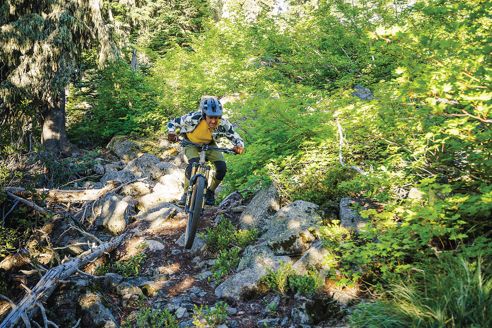
Formally announced to the public in 2022, the trail spans all the way from Canada to the southern tip of the Baja California peninsula in Mexico. It’s sprawling distance, totaling 5,029 miles, makes it the longest mountain bike trail in the world.
Amadeus is a modern-day multi-hyphenate, echoing the restless spirit of 19th-century westward migrants. A nature-loving Midwesterner, he moved to Oregon in pursuit of a creative career during the early 2000s graphic design boom with a goal of “making it big” only to find himself toiling as a cog in the Fred Meyer grocery empire as he stocked shelves and made coupon books. Seeing an escape from monotony through the forested public lands that had fostered five generations of entrepreneurs before him, Amadeus became a bikepacking guide, couriering travelers across meticulously researched routes that traversed the plains, mountains, and canyons leading from sagebrush to sea. It was this work that propelled his grand vision and led him to hatch a project that would allow for sharing the history of American public lands as well as his own story.
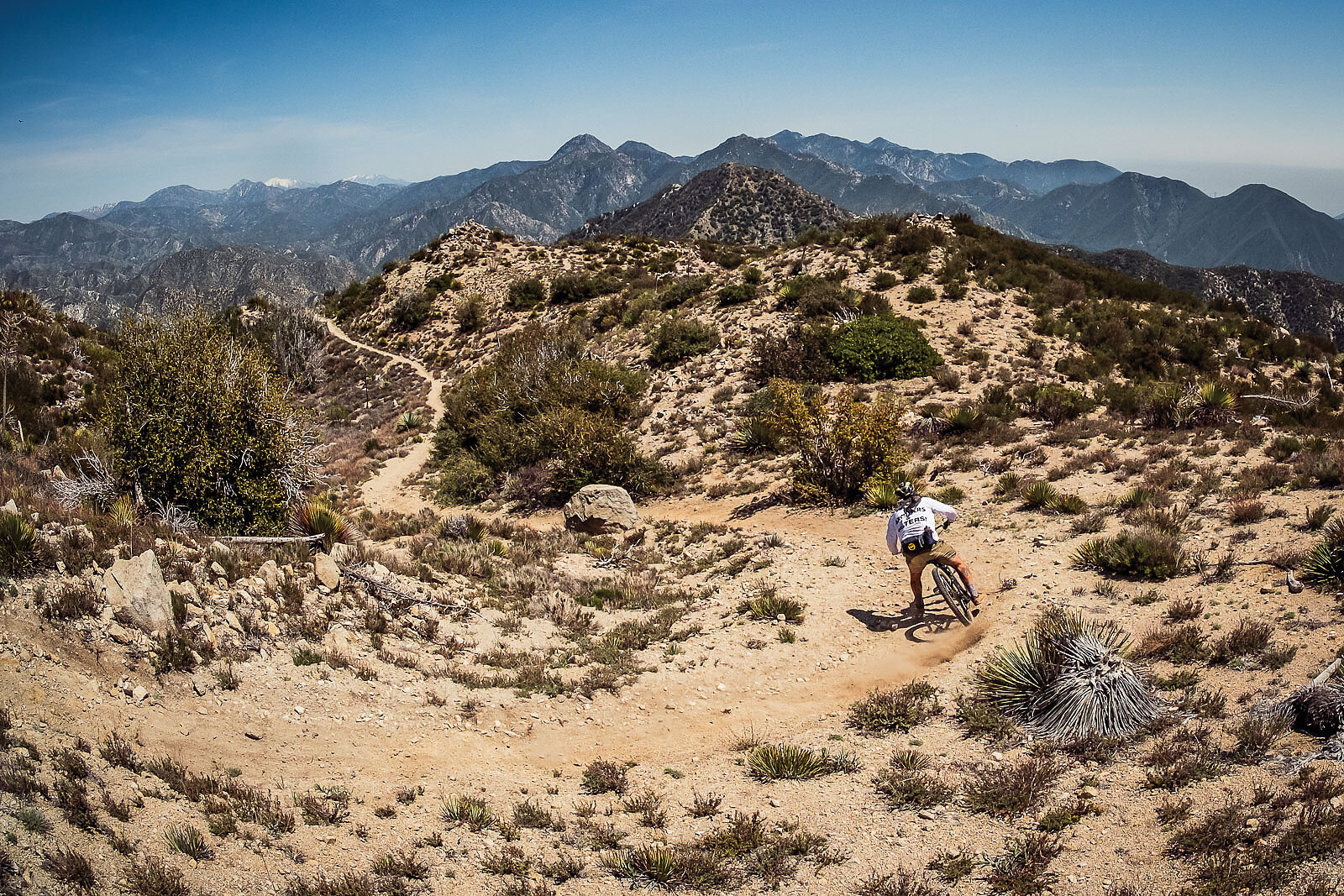
An expanding clientele in search of novel experience steered Amadeus to further develop his atlas of trails and distance of routes, which inevitably led to the crossing of the many imagined boundaries of county, ranger district, and state lines. It was these crossings, each displayed on disparate maps and governed by distinct entities, as well as the frequent changes required for trip plans often impacted by wildfire or unmaintained trails, that resulted in permitting issues and administrative strain insurmountable for one person intent on scratching out a living sharing the splendors of the landscape. While these federal personnel frustrations caused the sunsetting of Amadeus’ guiding business, his communication with state and local agencies landed him attention amongst a cadre of staff at Travel Oregon tasked with revitalizing rural timber towns through outdoor recreational economy building. Connecting his routes across the state, Amadeus saw a grander vision, one that traversed 669 miles of singletrack and dirt roads across the state from north to south in a line not all too dissimilar in appearance to an electrocardiogram reading.
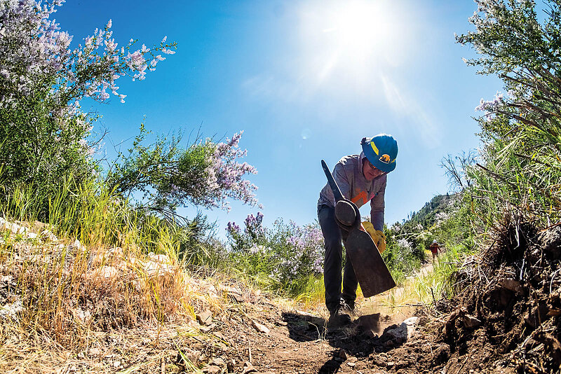
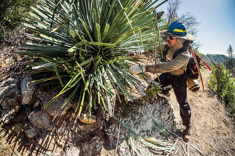
With 69,000 feet of elevation gain across its distance, the route, named the Oregon Timber Trail (OTT), was logically broken up into four tiers and 10 segments with an anticipated ride time of 20 to 30 days, a system that mirrored that of the famed Pacific Crest Trail (PCT). After five years directing the OTT through cartographic revisions and countless volunteer trail days maintaining the route, Amadeus followed through on his mountain bike analogy to the PCT, forming the Orogenesis Collective, a nonprofit stewardship with a mission to connect the U.S. and Canadian border to the southern tip of Baja, Mexico. Through his nonprofit, he searched for bike-legal singletrack and dirt roads that could connect Washington’s Cascade Mountains to the established Timber Trail, and then on to the Baja Divide bikepacking route. Now five years into this pursuit, Amadeus has organized a veritable murderer’s row of well-respected bikepackers, trailbuilders and public land advocates around the goal of making the Orogenesis route ridable through trail maintenance, cartographic investigation, and advocacy efforts.
Catching Amadeus in the late spring of 2025 as he waits for the snow to melt from the high elevations that Orogenesis runs along, it is clear that the task he has given himself is both all-consuming and Sisyphean in nature.
“Every aspect of Orogenesis revolves around a common theme of formative personal challenge,” he says, referring in equal measure to the painstaking days volunteers spend logging out tens of downed trees to open up a mile or two of trail at a time, as well as the many months individuals will spend in relative isolation to actually complete the route.
“Every aspect of Orogenesis revolves around a common theme of formative personal challenge,” —Gabriel Amadeus
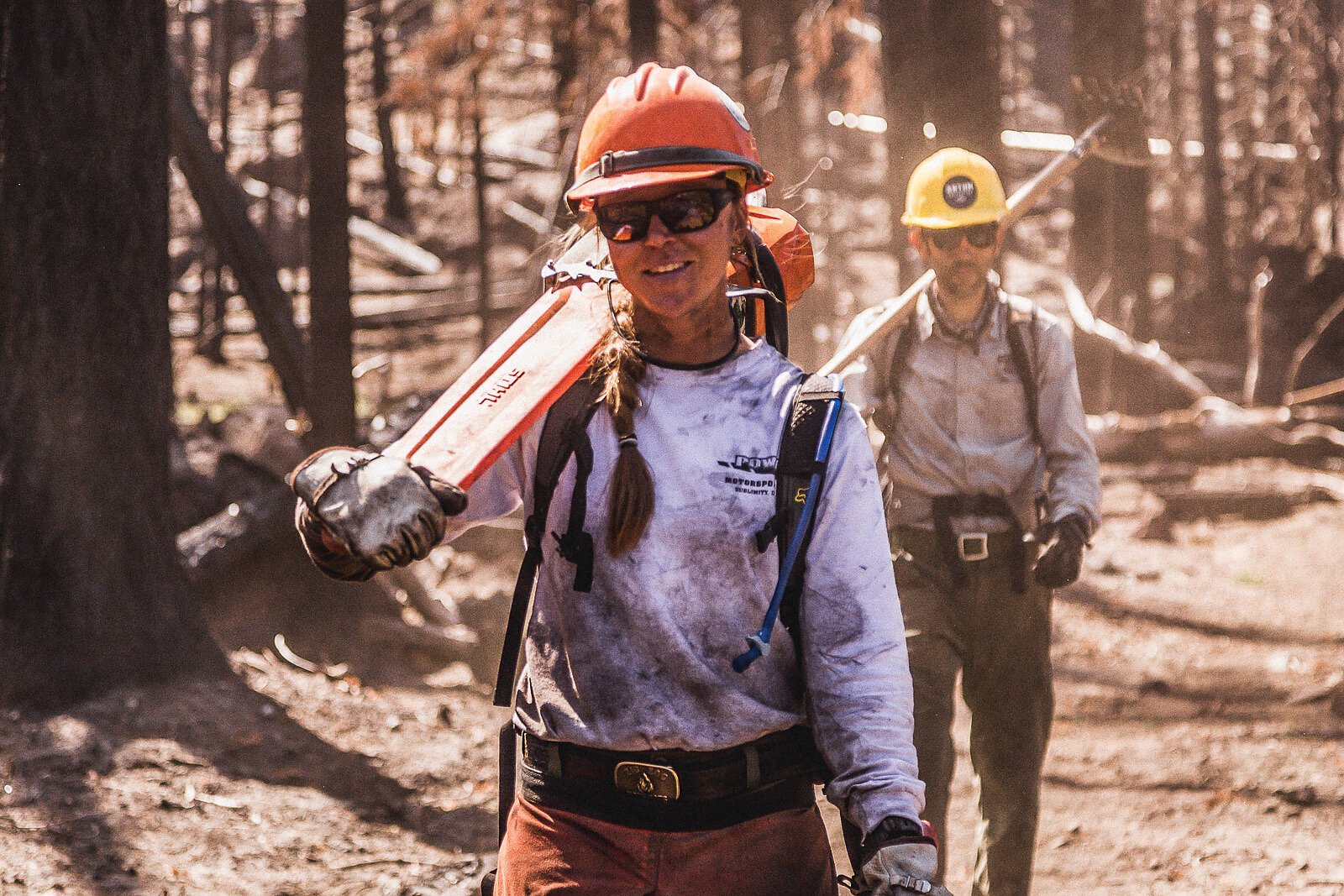
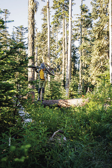
It is, as one would expect, an even longer trail experience than the PCT, which itself employs a staff of more than 40 tasked with directing thousands of volunteers annually to maintain portions of its route as acceptable for hikers. Meanwhile, the Orogenesis Collective operates with about a half-dozen committed, part-time scouts working in tandem with roughly 100 distinct volunteers who attend stewardship campouts guided by Amadeus in partnership with local districts of the USFS.
Amadeus believes that the trail is an evolution of his design work, a tenet clearly expressed in the finely designed maps created for the route as well as his appreciation for telling stories of the roar of chainsaws or the discovery of rock walls—often deep under layers of moss and dirt—built during the 1930s Civilian Conservation Corps era.
“Communication is both visible and tangible as much as it is vocal,” Amadeus says. This ethos guides the various actions undertaken on a near year-round basis by volunteer trail stewards and indefatigable scouts.
One of the most prolific of these scouts is Chris McNamara, a pioneer of big wall rock climbing and BASE jumping in Yosemite through the 1990s and early 2000s, who has since found a passion in long distance mountain bike trails rivaled only by Amadeus himself. McNamara’s drive is admirable and undeniably productive. Over the last five years, he has developed the Tahoe Lake Loop bikepacking route, supported three distinct trail stewardships as part of their vision circles, and been the driving force behind the 463-mile “Sierra Camino” section of the Orogenesis route, which spans from the mountain bike nerve center of Downieville, California, to Mammoth Mountain. Similiar to the route as a whole, the Sierra Camino section was already about 90-percent complete in terms of being ridable largely on dirt from the first iteration; however, just the same as Amadeus, McNamara isn’t one to settle for good enough. Both have spent countless weeks combing mapping software such as Caltopo and OnX for inklings of trails or old logging roads to replace paved sections of their route, duly heading out into the field to check on the ground conditions themselves, season after season as conditions change.
McNamara’s attention to detail resulted in a route tier alignment that, on paper, appeared to be nearly free of paved roads, an impressive feat considering the domineering nature Highway 395 has along the non-wilderness portions of the eastern Sierra landscape this tier covers. Yet a line drawn across a map can only reveal so much about a trail or a multi-day ride, so I took McNamara up on his challenge to ride the route, which he offered in the form of a cryptic message: “I’m handing you the ball for the winning touchdown of this huge goal at the one-yard line.” With work pressures mounting, I opted to experience just a three-day smorgasbord of trail connectivity from Tahoe to Mammoth.
On a cold autumn morning, I looked down at the bike computer I held in my palm, finding myself as a small dot at one terminus of a few hundred-mile-long line winding south. Taking a deep breath as I imagine many PCT hikers have done at each day’s commencement, I tucked the little device into my riding vest and began to pedal on singletrack up and over the Sierra Crest.
For the first 80 or so miles I rolled easily over decomposed granite, grazing two alpine ridges above a pine forest, before descending horse packing trail down countless tight switchbacks into broad valleys with signage denoting their inclusion on initial wagon routes of the 1800s. These hours of saddle time brought me to my first destination town of Markleeville, which hosts a single market, a bar, and a restaurant for its 178 residents. A cold-water spring ran out of a stone masoned well adjacent to the market’s wooden porch, allowing me to refill bottles while enjoying a microwaved burrito and root beer soda from the freezer section. From town, an old mining road led 3,000 vertical feet up to the pass I needed to crest to follow the remainder of the route south, resulting in a few hours of mixed hike-a-bike and pedaling slow squares while the bean and cheese wrap sat like a brick in my stomach.
I forgot all about my woes as I wound through the final, flatter mountaintop miles surrounded by birch and aspen trees in the midst of their seasonal hue transition from green to orange. Renewed by the experience, I made haste across the valley in a wildlife area rife with the scent of sagebrush, bushwhacked through trails that perhaps existed more so on maps than the landscape after seasons of inattention, and made camp beside a hot spring-dotted river with my fiancé and our dogs.
In the morning, I read a plaque not 50 feet from our tent that told of a lumber mill that once existed where I stood, feeding boards to the former gold and silver mine that was to be our next destination. Pedaling onward felt like tracing history, breaking into contemporary times only during stops in small towns for coffee and resupplies. Nineteenth century mining infrastructure faded into the development necessary for the extraction of water as I rode along the gravel roads of the aqueduct that feeds Los Angeles’ water needs from snowmelt 500 miles away. Finally, as I found myself once again engulfed by the canopy of towering pines, I knew I had re-entered the semi-protected lands of the USFS, which, thanks to a spiderweb of logging roads developed and maintained by tax dollars, offered an easy path into Mammoth.
Even on a relatively short journey along one tier of the grand Orogenesis vision, I felt that sense of visceral communication that Amadeus promised was only attainable through interactivity. Just the same, McNamara had sagely foreshadowed my experience, as well as his own ethos that could be felt from his section of the route in his parting words before my trip: “For some people, a life well spent is one lived doing hard, meaningful things with friends.”
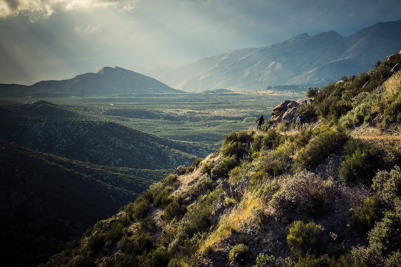
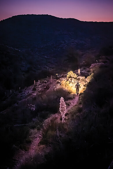
His vision for the trail’s Sierra Camino section melds with that of Amadeus’ larger dream of creating a landscape that looks more like Europe, wherein small mountain towns are connected as much by train and trail as by culture and a sense of regional place. In this type of environment, trails take on a social element and connect people through a shared natural setting.
Convinced that together these two visionaries were not quite as quixotic as I’d initially assumed, I followed their lead toward two names they shared with equal verve as exemplifications of the grand route’s current status and next steps: Kurt Refsnider and Evan Sollberger. I’d come to know Refsnider through his climate advocacy work with the nonprofit Protect Our Winters and admired from afar several years ago as he completed a through-ride of the Continental Divide Trail (CDT)—the actual hiking route, not the amended cycling option—by way of pure grit, stubbornness, and a seemingly endless supply of food he managed to carry. In August 2025, Refsnider set out to become the first individual to ride Orogenesis in its entirety.
“I’m legitimately excited for another demanding multi-month, 5,000-plus mile bikepacking trip,” Refsnider told me. “Gabe’s enthusiasm for the route concept had me hooked for years, and the timing has just worked out that in the same year, the route is ready for a test ride, and I have the time to be able to dedicate to a massive adventure.”
Refsnider’s aspirations to ride the route in a contiguous stretch will no doubt place him in rarified air within the long-distance cycling community, however, it is with good intention that he finds purpose in this effort.
“On the CDT, I was met with a trail specifically created with hikers and not mountain bikers in mind, which was so physically and technically difficult that it’ll never come close to being popular with bikepackers as a through-ride,” Refsnider said. “But the goal with Orogenesis is for it to be more approachable and created for mountain bikers. I’ll be looking to create some logistical resources while on my expedition—where can I find water, resupply options, how slow or fast are different sections, etcetera, with the intention of making planning easier for future riders.”
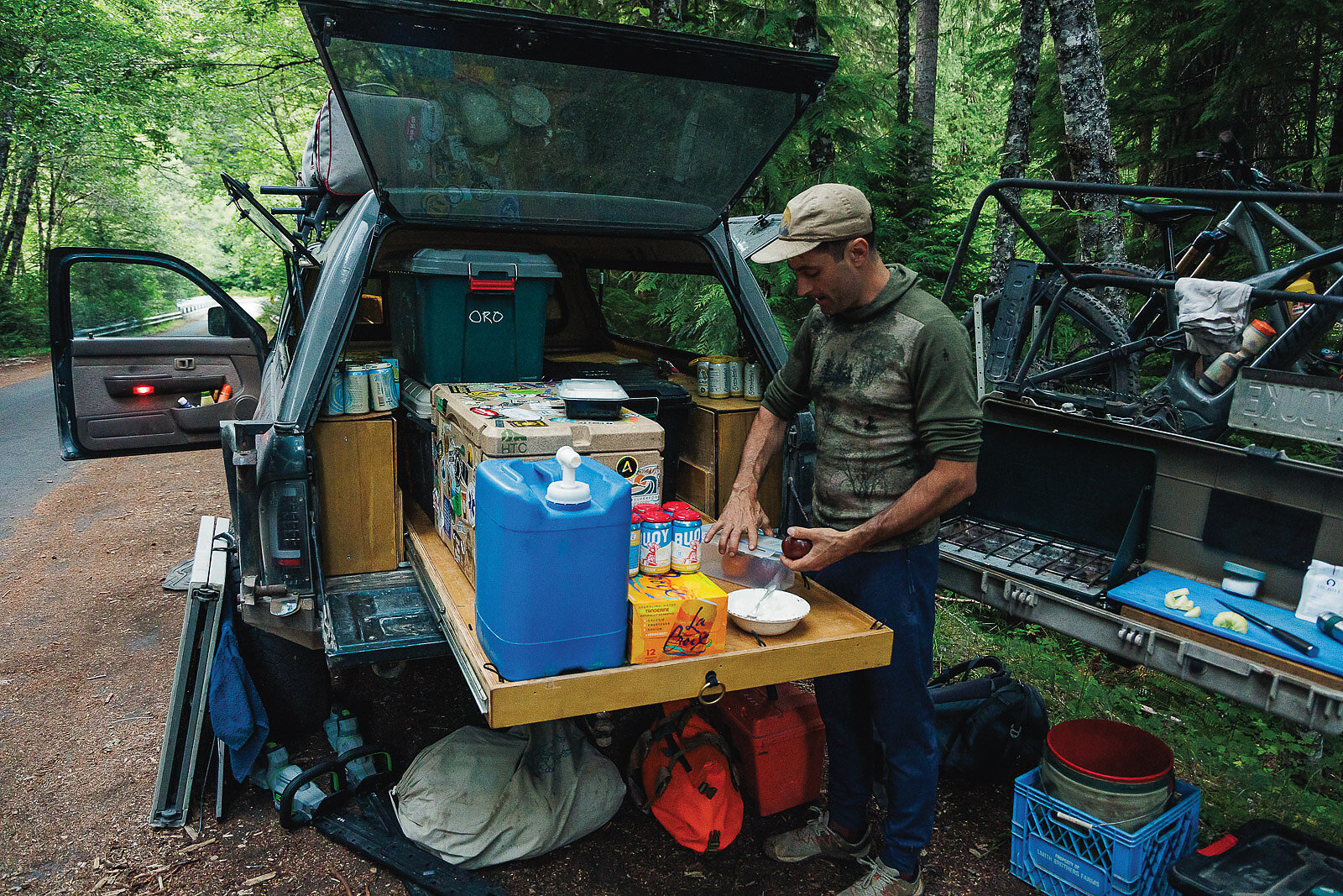
It was with this altruistic perspective that Refsnider acknowledged the grandest of challenges for Orogenesis and long-distance bikepacking routes, if not all trails, in general: trail maintenance. Deadfall, overgrowth, fire-scarred erosion, and privatized land easement erasure all impact sections of trail under various seasons, leaving riders with enigmatic logistical challenges and, not to mention, inevitable physical and mental trials. Having an alignment over 5,000 miles long across countless jurisdictions only compounds the snags of trail stewardship. It’s a reality that Refsnider says has left him planning for an average of 35-mile days, which would result in roughly 150 consecutive days on the bike to complete Orogenesis. Such a length of time necessitates planning for shifting seasons, daylight hours and, as ever seems to be the reality in the Anthropocene, climate-related disasters such as irregular snowpack, erratic fire seasons, and brutal heatwaves. His ride began southbound from the Canadian border with the intent of dipping a wheel in the Pacific Ocean at the tip of Baja in early 2026. In the many months during which he is riding, Refsnider’s primary source for on-the-ground trail conditions will be Sollberger, one of the Orogenesis Collective’s most prolific scouts and trail stewards.
“[Evan is] the kind of person we need to find more of, yet know few if any exist quite like him,” McNamara told me, echoing near identical sentiments from Amadeus.
Sollberger, who resides near San Diego in southern California, speaks with the pragmatism and wisdom regarding public lands and trails in the Golden State that one would expect from a professional trail steward or policy analyst, yet he is a journeyman mountain biker, riding in the hours outside his nine-to-five just like the rest of us. His hours on the bike between 5 p.m. and 9 a.m. stretch on far longer than most mortals could manage—he estimates he has scouted more than 5,000 miles of trail and fire road over the last few years in service to the Orogenesis trail. His trips have taken him from Tahoe down both sides of the Sierra and south to the border with Mexico.
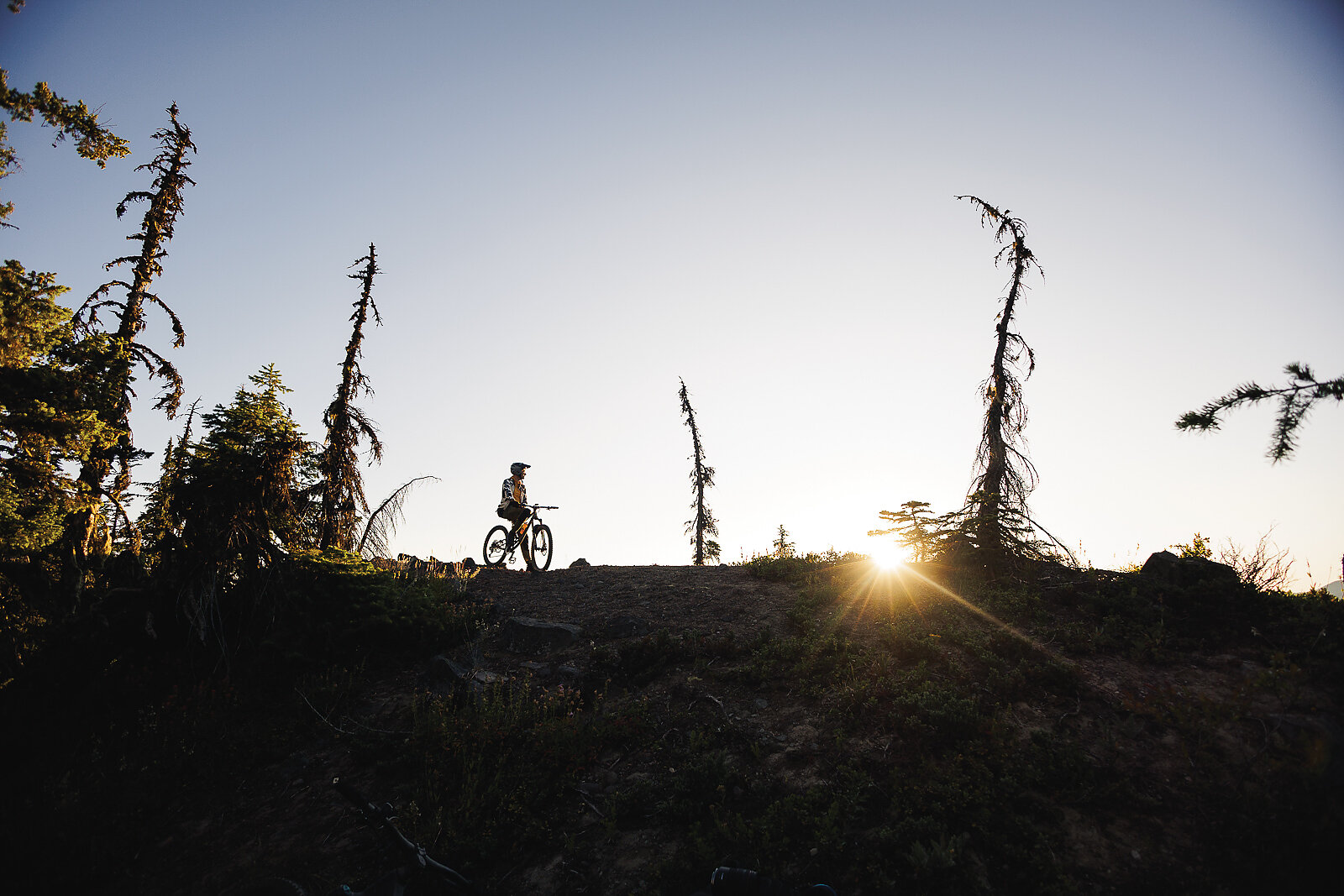
Across these missions, Sollberger has come to recognize the many snags that Orogenesis faces, both literal and figurative, now and into the future: Wildfires that reduce lush forests into moonscapes, years-long closures of burned areas by defunded agencies such as the USFS, and trails covered by deadfall and brush under declining stewardship, all of which have forced re-routes to past potential alignments and will undoubtedly impact many miles of trail in timeframes as short as Refsnider’s months-long ride and the decades beyond.
“There are times when you find a trail is so badly wrecked that it sends you through all of the seven stages of grief,” Sollberger said.
However, it is these moments that provide perspective as to the difficulties the Pacific Crest Trail Association (PCTA), an organization that has received both criticism and adulation from cyclists. Sollberger was amongst the cadre of bikepackers who petitioned the PCTA and USFS to open the PCT to cyclists in the 2010s and still holds onto the edict handed down: If you want a long-distance trail for bikes, go make your own.
Amadeus and his Orogenesis Collective has offered that opportunity through a group of like-minded individuals with a shared north star.
Orogenesis may be the longest, contiguous dirt route designed for cycling on the planet, but it is more than the sum of its miles. It is a living, breathing monument to people and place, stitched together by history, hardship, and hope. Amadeus’ core tenet for Orogenesis, that of finding “new ways on old ground,” may not be true if taken plainly at face value, though it hints at a deeper set of ingrained values.
“Time outdoors transforms lives—nature brings out joy in all of us and joy makes us the best people we can be,” Amadeus says.
The word “orogenesis” describes the geologic process of mountain building, typically through the collision of tectonic plates. In the case of Amadeus and his motley crew, the folding and deformation is intended for individuals themselves—to build a greater self through the formative experience of personal challenge found through solace in open spaces.