Detours in the Desert Trial and Error on the Arizona Trail
Shivering inside my sleeping bag, I went through my mental clothing checklist to see if there were any clothes that I wasn’t already wearing.
I’d been trying not to admit it, but I had to concede it was taking every last layer I had to keep me warm in the low-20s temperatures. It was mid-October, and the Arizona high desert was teaching us a lesson in temperature swings.
I’d come here with a friend, big mountain skier Jackie Paaso, to bikepack a stretch of the Arizona Trail, from Flagstaff to Cottonwood, just outside of Sedona. I was surprised to learn that Flagstaff sits at an elevation of about 7,000 feet, and even more surprised to feel how quickly the temperatures dropped off once the sun had set. Due to a delayed flight and a host of last-minute, on-the ground preparations, we’d gotten a late start to our journey, hitting the trail at 5 p.m. with only an hour or so of daylight left.
At 800 miles, stretching from Mexico to the Arizona-Utah border, we had only signed up to ride part of the Arizona Trail as a quick escape. But within minutes of pedaling, I could tell the trail is a colossal collaboration. Using a variety of public lands, the trail connects some of Arizona’s most famed historic sites, ascends mountains, crosses plateaus and provides access to the state’s most epic views for hikers, equestrians and bikers alike. Designated a National Scenic Trail in 2009, the concept was originally dreamed up in 1985 by Dale Shewalter, a Flagstaff schoolteacher who worked tirelessly to help the idea come to life.
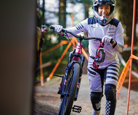
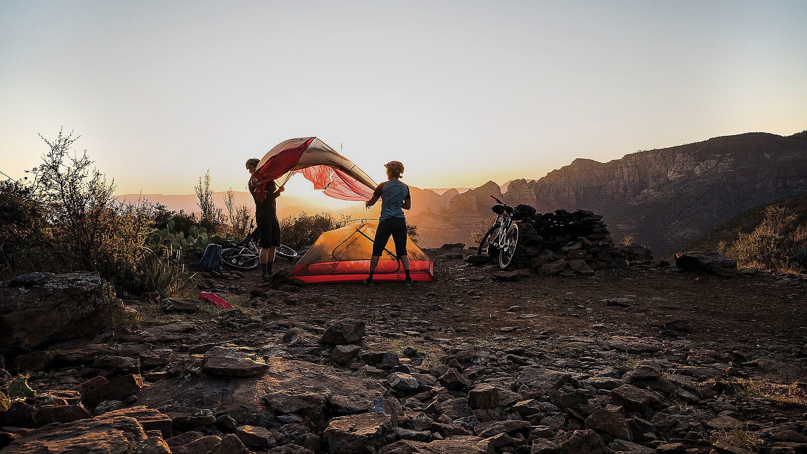
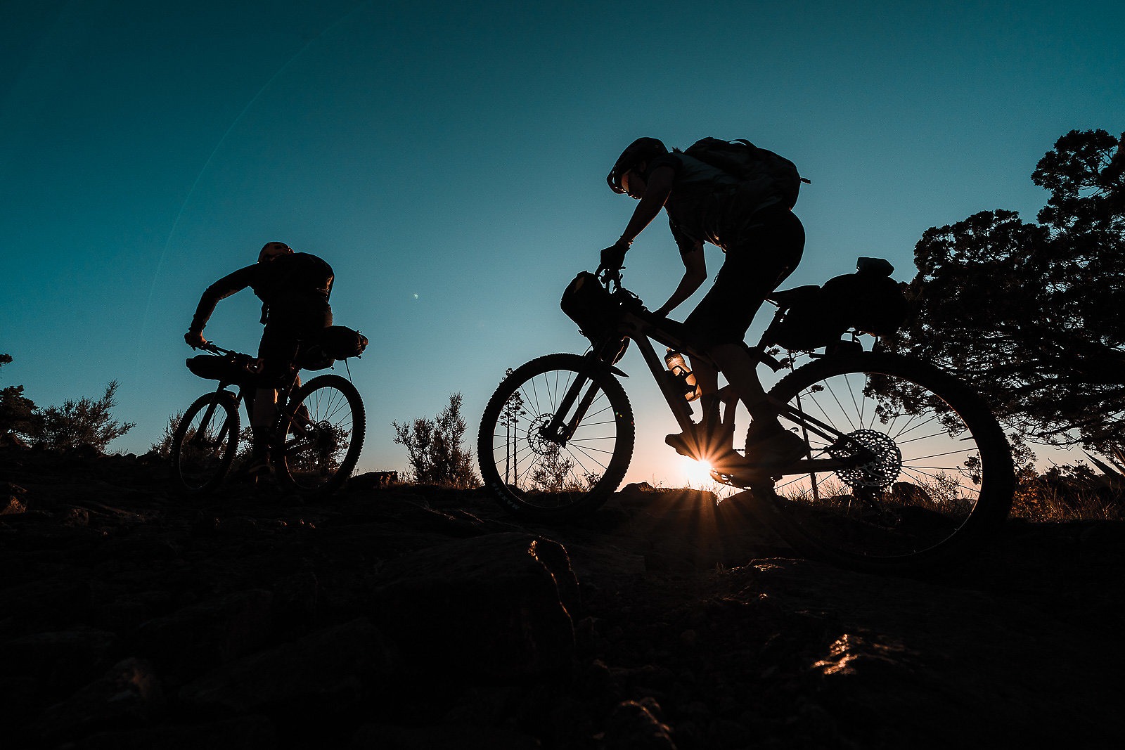
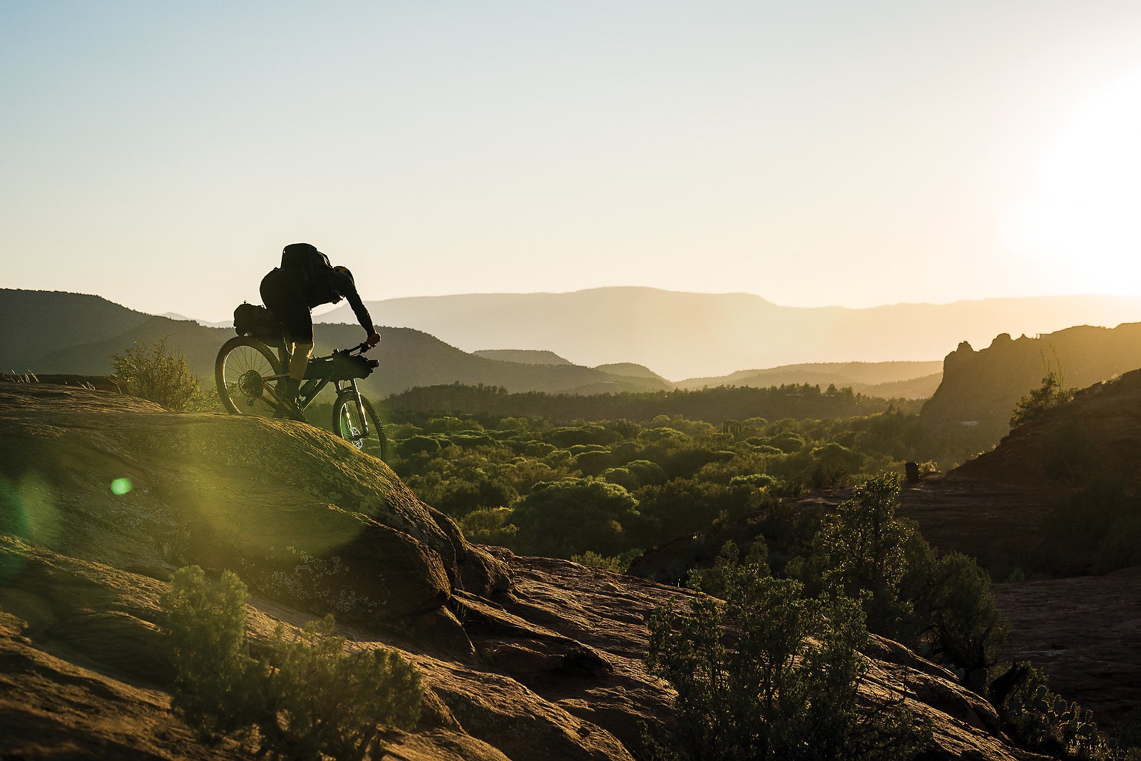
As Paaso and I rolled down the trail and began catching up, we realized that this was no ordinary trail ride. This was bikepacking, which meant we had all of our food and camping supplies strapped to our bikes. And though our setups had passed the parking-lot test, they were going through some trial and error on the actual trail. It only took me a few quick schralps to learn that rock-smashing with fully loaded bikes was a bad idea, and all we could do was laugh when what we thought were well-secured bags simply fell off the bikes.
It only took me a few quick schralps to learn that rock-smashing with fully loaded bikes was a bad idea, and all we could do was laugh when what we thought were well-secured bags simply fell off the bikes.
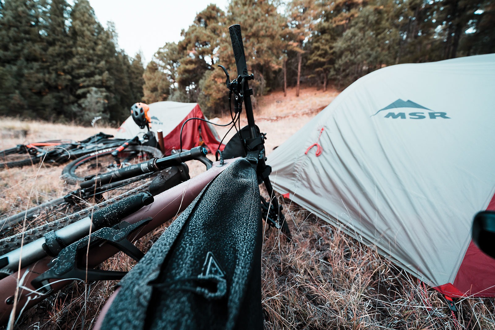
About four miles into the trail, darkness hit us, and we realized that neither of us had a clue where we’d packed our headlamps. Keen to find a place to camp before the temperatures plummeted, I pulled out my iPhone and used its flashlight to shine the way for me and Paaso. Luckily, we quickly found a meadow and set up camp, crushing beers we’d packed for the start of our journey. Within minutes, we admitted we were freezing and crawled into our tents to escape the cold.
The next morning, we awoke to ice on the outside of our tents and a thin frosting of white across the meadow. It was cold, but nothing that coffee and some warm oatmeal couldn’t combat. Eager to get moving, we packed up camp and hit the trail. We only made it a few miles before running into a turnoff for Fisher Point Cave, which I’d been told was worth a look.
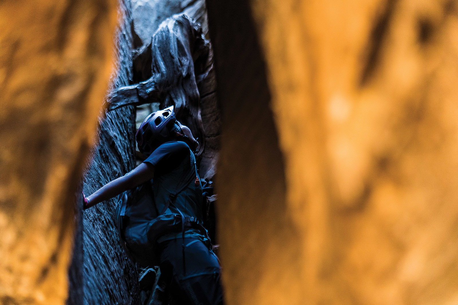
Situated at the beginning of Walnut Canyon, the cave marks just the beginning of an etched riverbed that extends eastward for almost 10 miles and is itself a national monument. At the far end are ancient petroglyphs and cave dwellings left by the Sinagua people more than a millennium ago. The name Sinagua means “without water” in Spanish, a concept these early inhabitants were all too familiar with, and one we would soon learn.
The cave turned out to be a lot smaller than had been described, but it was nonetheless worth a detour. After all, detours are what bikepacking trips are all about—not sticking to the planned route gives a sense of exploration and always makes a trip that much more memorable. The fact that the detour kept us squarely in the warm sun also reassured us it was the right move.
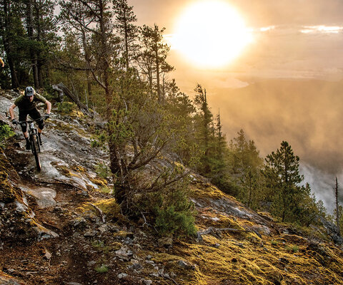
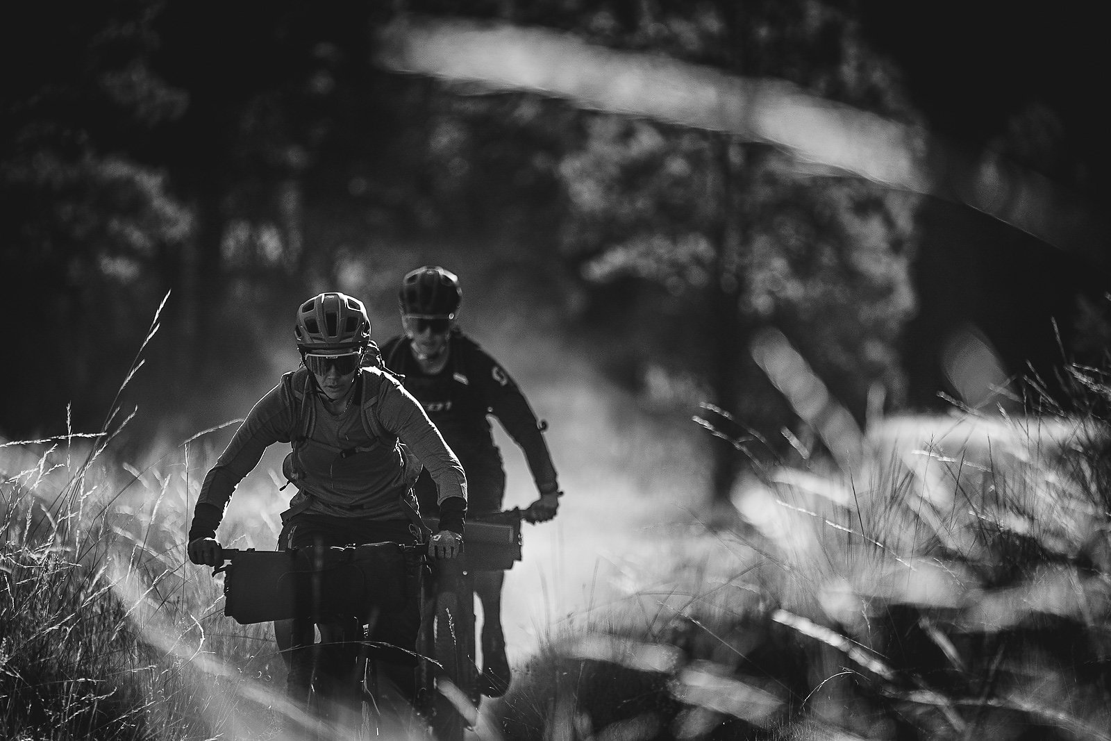
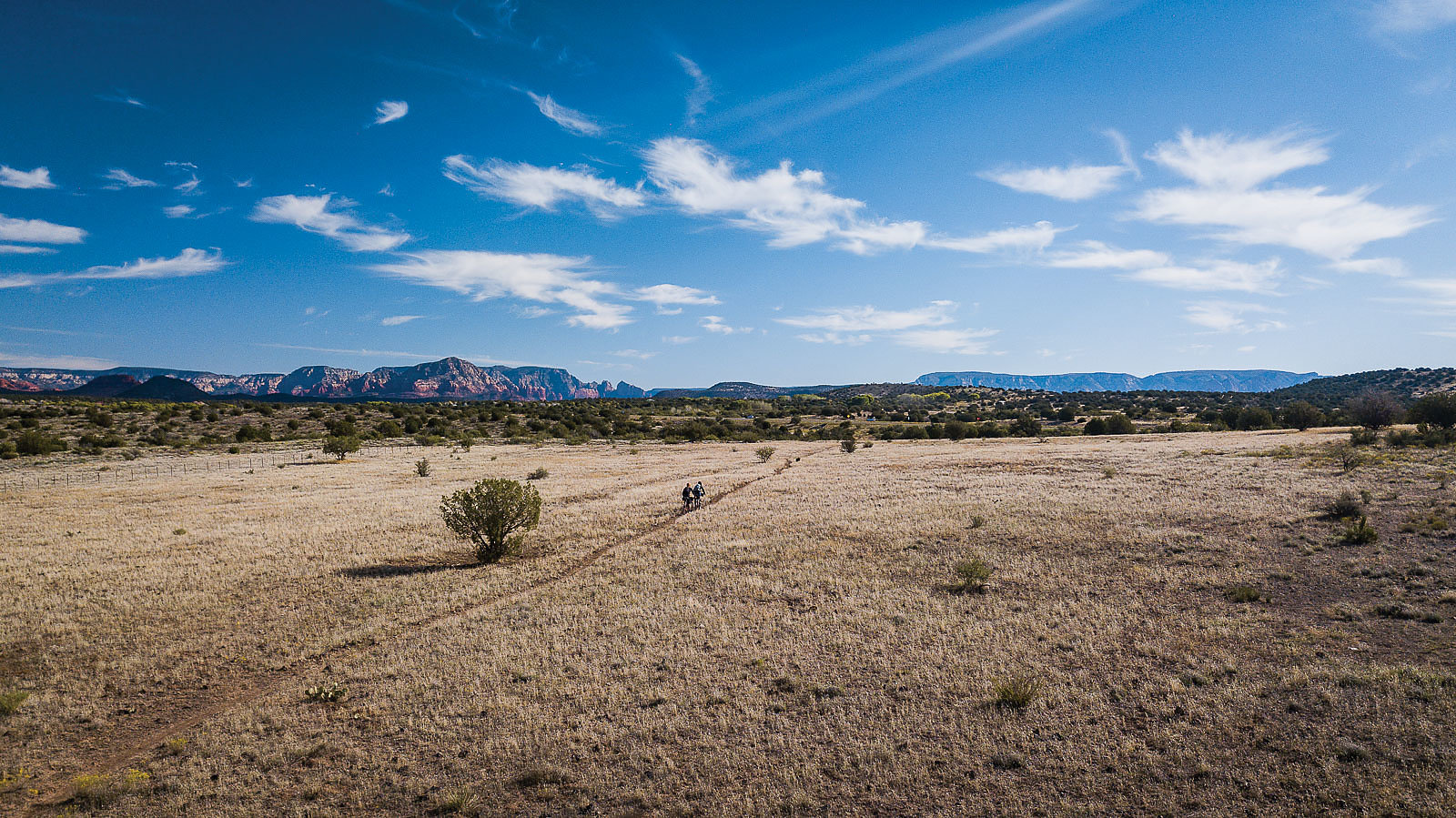
Leaving Fisher Point Cave, we pedaled along some doubletrack that would lead us back to the Arizona Trail. Normally I would hate on some doubletrack, but being able to ride side-by-side with a friend, each with our own piece of singletrack, felt pretty rad. We eventually picked up the Arizona Trail again and rode toward Marshall Lake, in the Coconino National Forest, where we found ourselves ripping some awesome terrain that felt like a mix of Bend, Oregon and my hometown trails of Lake Tahoe, California.
When we arrived at what we thought was the lake, we had to check our GPS to make sure we were in the right place. It looked more like a swampy meadow, but the GPS confirmed this was Marshall Lake, so we did a lap around it in a futile search for water. The heat of the day—together with the fact that we’d each had two cups of coffee that morning—had left us woefully short of water. At the top of a nearby hill was a structure we learned was the Lowell Observatory, so we rode up to look around for some sort of spigot.
As one of the oldest observatories in the United States, the people and telescope at Lowell have been responsible for some pretty significant finds—Pluto being one. The observatory is also responsible for discovering the rings of Uranus, information key to the Apollo programs and some of the first evidence to show the universe is expanding. Aside from knowledge, there was nothing to be found, although we saw a few cars parked inside the gate and could tell people were there.
After pressing a gate keypad several times with no response, we were relieved to spot a guy driving a golf cart and rode up to explain our dilemma. Without hesitation, he offered us a five-gallon jug of water. We gulped down a couple of liters each and used the rest for dehydrated meals. With renewed energy, we made our way along the last stretch to the Pine Grove Campground at the base of Mormon Mountain.
We gulped down a couple of liters each and used the rest for dehydrated meals. With renewed energy, we made our way along the last stretch to the Pine Grove Campground at the base of Mormon Mountain.
With such a long day of sun exposure, dehydration and scant nutrition, morale was a bit low. But this didn’t stop me from making friends with some nearby campers, who surprised us with macaroni salad and turkey sandwiches. Their generosity made me realize this trip was about the journey and the people you can meet along the way.
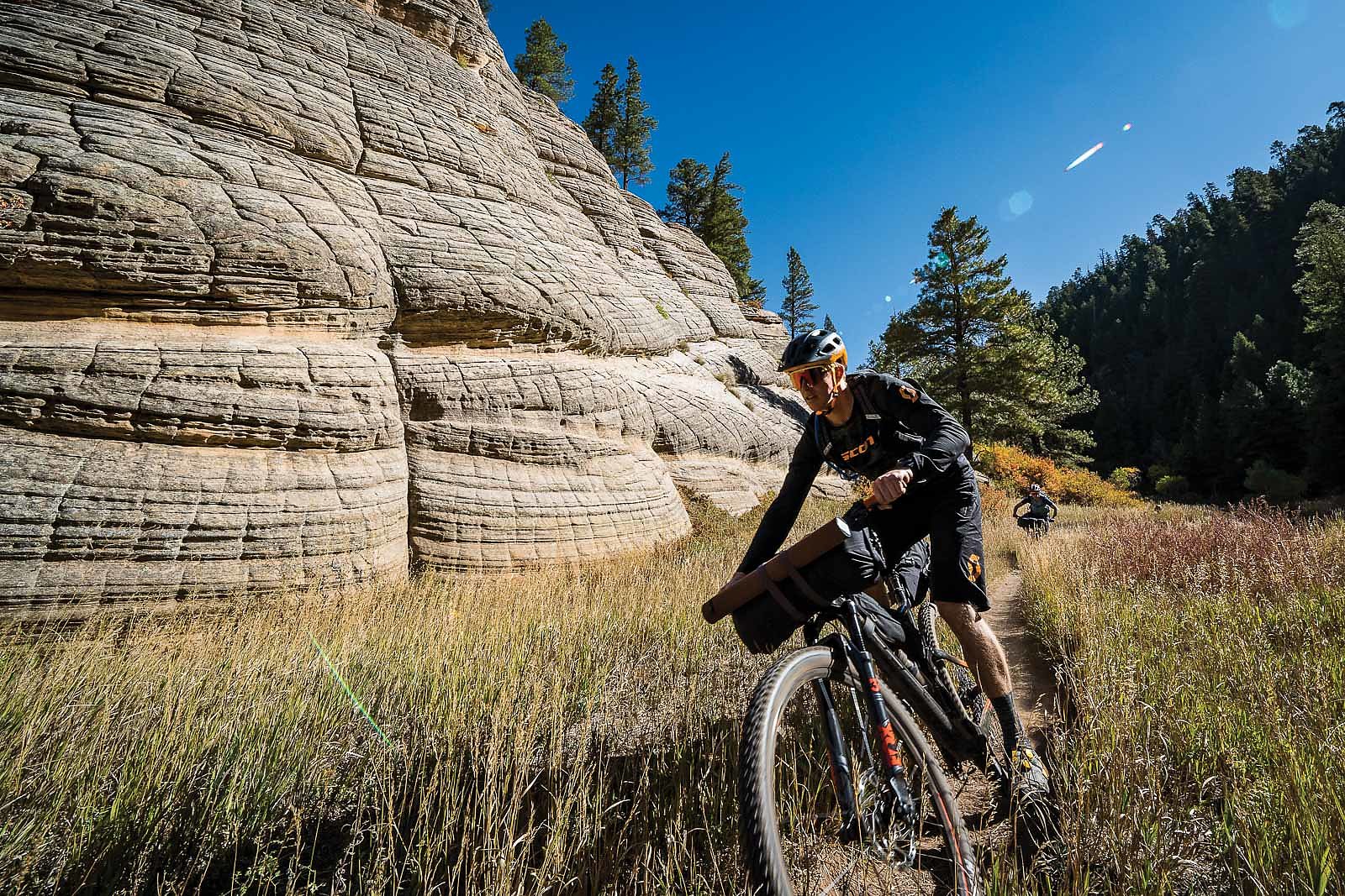
After a long night of listening to frisky bull elks bugling, we woke up feeling the effects of yesterday’s effort—and it was showing in our faces. This day was to be the longest of the trip, with some 40 miles to cover, so we wasted no time getting on the trail. Following the old Flagstaff Railroad, we found the gradient to be perfect, and we climbed steadily to the base of Mormon Mountain, the other side of which offered a gradual downhill that was plenty rippable.
We eventually stumbled on St. Joseph’s Youth Camp, where we couldn’t resist trying to hustle a warm meal. To our disappointment, however, we found the youth camp had finished and ROTC was in full swing, so there would be no freebies. We whipped out the stove and cooked up some lunch before lighting out on our last stretch of the trip, along FR 240, a ripping fire road that offered 2,000 feet of descent in 12 miles.
We covered some serious ground, drafting each other and chasing cows alongside the road until the dirt turned to pavement and we dropped into the town of Munds Park, Arizona, where we spotted a gas station. Most gas stations usually seem a bit rundown, but in our hunger and thirst this one appeared to glow. All we could think of was snacks, and we raided the station for ice cream and beer, both of which made our final climb up Schnebly Hill Road a breeze.
Cresting the final hill, we left the alpine environment of the high desert and descended into a zone of sand and rock. This made for some tricky riding, but we rolled into the outskirts of Cottonwood just in time to watch the sun set over the rock spires of Sedona. As the light faded across the red rocks, turning them a pinkish hue, I reflected on the misadventures of the past few days. Every detour had led to a surprise, and surprises are where adventure lies.