East Side Anomaly - A Change of Pace on Angel's Staircase
As professional downhill riders, both Bryn Atkinson and I spend most of our year exploring.
The race circuit—and accompanying media and industry commitments—takes us around the world, from South Africa to Europe to all sorts of locations around North America.
Too often, it also keeps us from exploring out our backdoor. And living in Washington state, there is a lot of exploring to do.
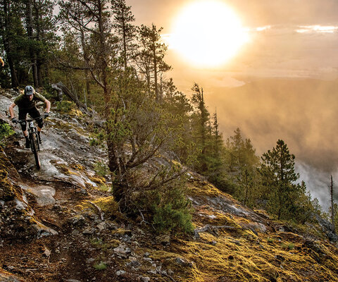
One such gem is Angel’s Staircase, a 23-plus-mile trail that traverses from ponderosa forest to subalpine firs to open alpine ridges and lakes, climbing more than 5,000-feet and topping out at more than 8,000 feet—the highest singletrack in the state. Hidden between the Methow Valley and Lake Chelan, the trailhead is also a winding, four-hour drive from Seattle or Bellingham. In a region famous for its thick forests and near-sea-level descents, it’s somewhat of an anomaly.
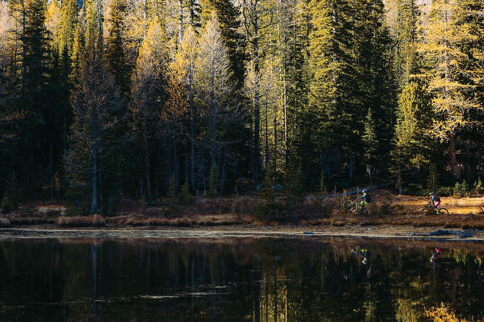
Despite its secluded location, the trail is no stranger to mountain bikes. It’s in the Lake Chelan Backcountry recreation area, a parcel of National Forest open to horses, hikers, mountain bikers and dirt bikes, and during a short mountain-bike boom in Lake Chelan and the Methow Valley during the 90s (including NORBA race stops), it was a popular ride. It even earned the name “The Golden Lake Loop,” owing to its fiery larch forests.
Then the sport fell out of favor in the central part of the state during the late 90s and early 2000s. The alpine lakes, open ridges and soaring 8,000-foot peaks of the area were relegated to dirt bikes, horses and hikers.
Now the trail is back in vogue for the mountain-bike world, and its reputation as a “classic” has been reaffirmed.
After a wild last month of our race season, Bryn and I decided to switch up the pace, switch off our phones and laptops and get out into our backyard. Considering its location and reputation, Angel’s Staircase was perfect. And so midweek in early October, we loaded up our Dodge Sprinter and headed east.
The North American Alps
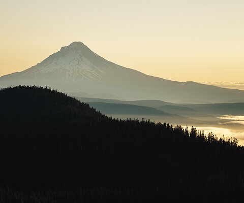
For those not familiar with the central Cascade Mountains, they’re a dry and hot contrast to the rain-soaked forests of the west side. The expansive openness feels more like Montana at moments and Colorado at others, broken by the soaring granite and colorful alpine meadows that have led to the Cascades being called the “Alps of North America.”
From Bellingham, the quickest route to the Crater Lake trailhead is Highway 20, a Scenic Byway cutting through the heart of the Cascades. State Route 20 passes the blue-green waters of Diablo and Ross lakes, under soaring peaks and the stone monoliths of the Liberty Bells, before dumping out into the Methow Valley and the tiny town of Winthrop.
Alongside the Bavarian-themed Leavenworth, Winthrop is the most iconic tourist town in Washington. Its main street is lined with small shops and a wooden boardwalk, and all the buildings are meticulously Wild West themed, strange and quaint despite bustling crowds of tourists.
Pastries and Brewpubs
Our turnoff was 15 miles past the town of Twisp, a working community that’s home to the valley’s main grocery store, the school district’s bus garage and other day-to-day amenities. The Cinnamon Twisp Bakery and the Twisp River Pub are both worth stopping for—in particular, the bakery’s Cinnamon Twist pastry and the pub’s live music and delicious home-brewed beer.
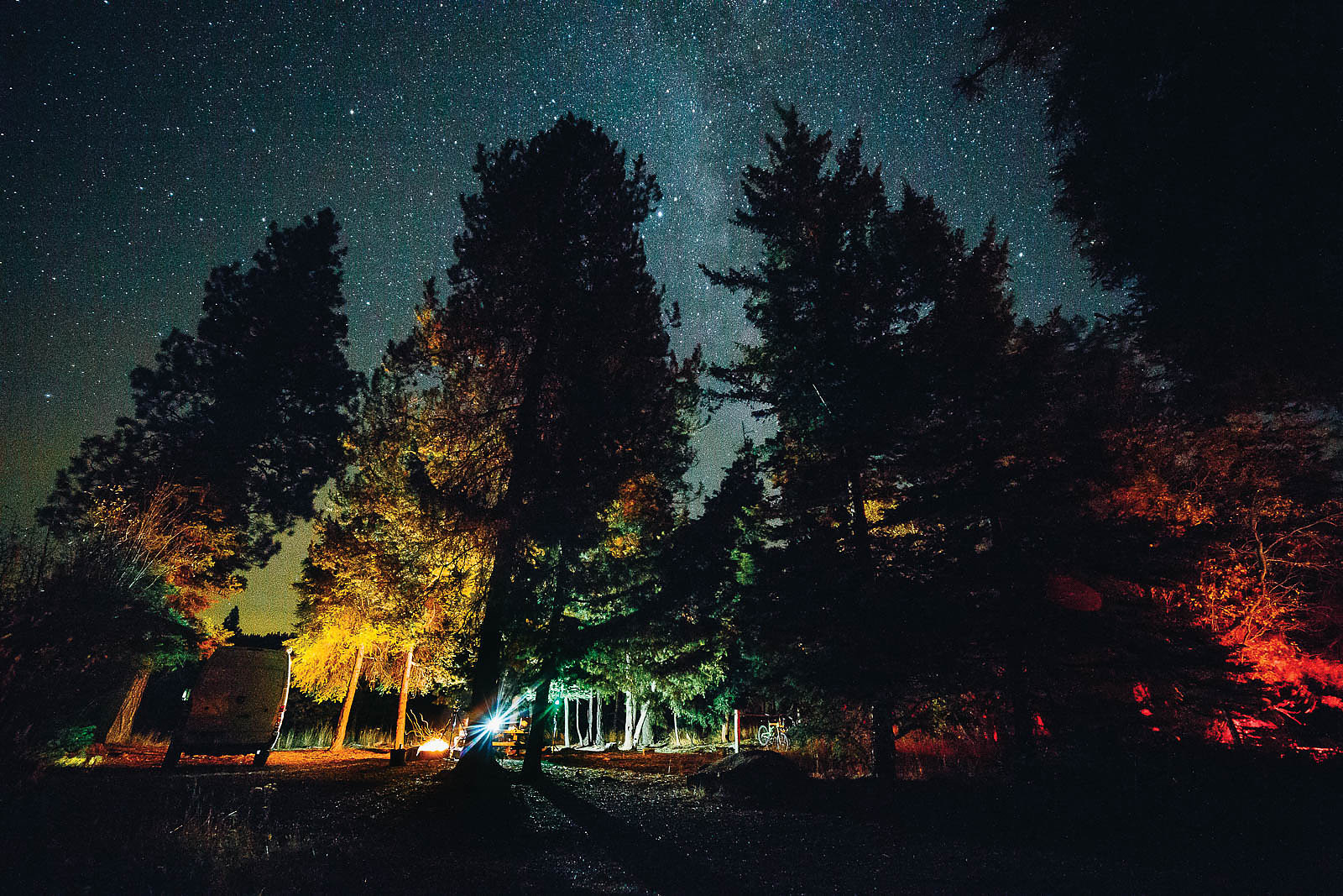
We pulled off the main highway onto Gold Creek Road, and then off the pavement and up the gravel United States Forest Service road to Crater Lake trailhead. Though hunting season was only a few days away, the campground was mostly empty and we drank a few quiet beers around the campfire before heading to bed in the Sprinter. Angel’s Staircase is a long day, and tomorrow would be an early start.
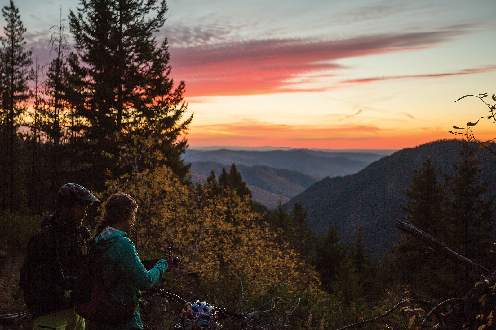
I’m not a dawn patrol sort of person—it reminds me too much of airports and layovers. But the broad range of pinks and oranges on the surrounding peaks in the morning made waking up easy. After a quick fireside breakfast, we began the pedal upward.
The Golden Loop
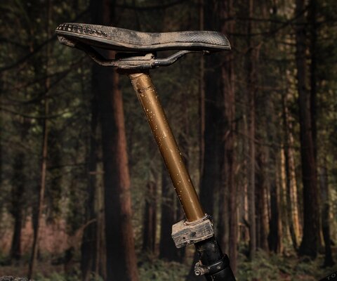
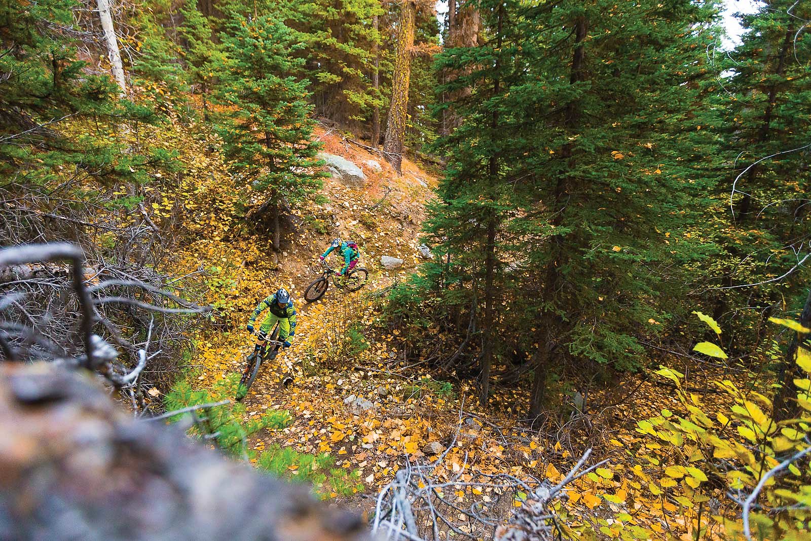
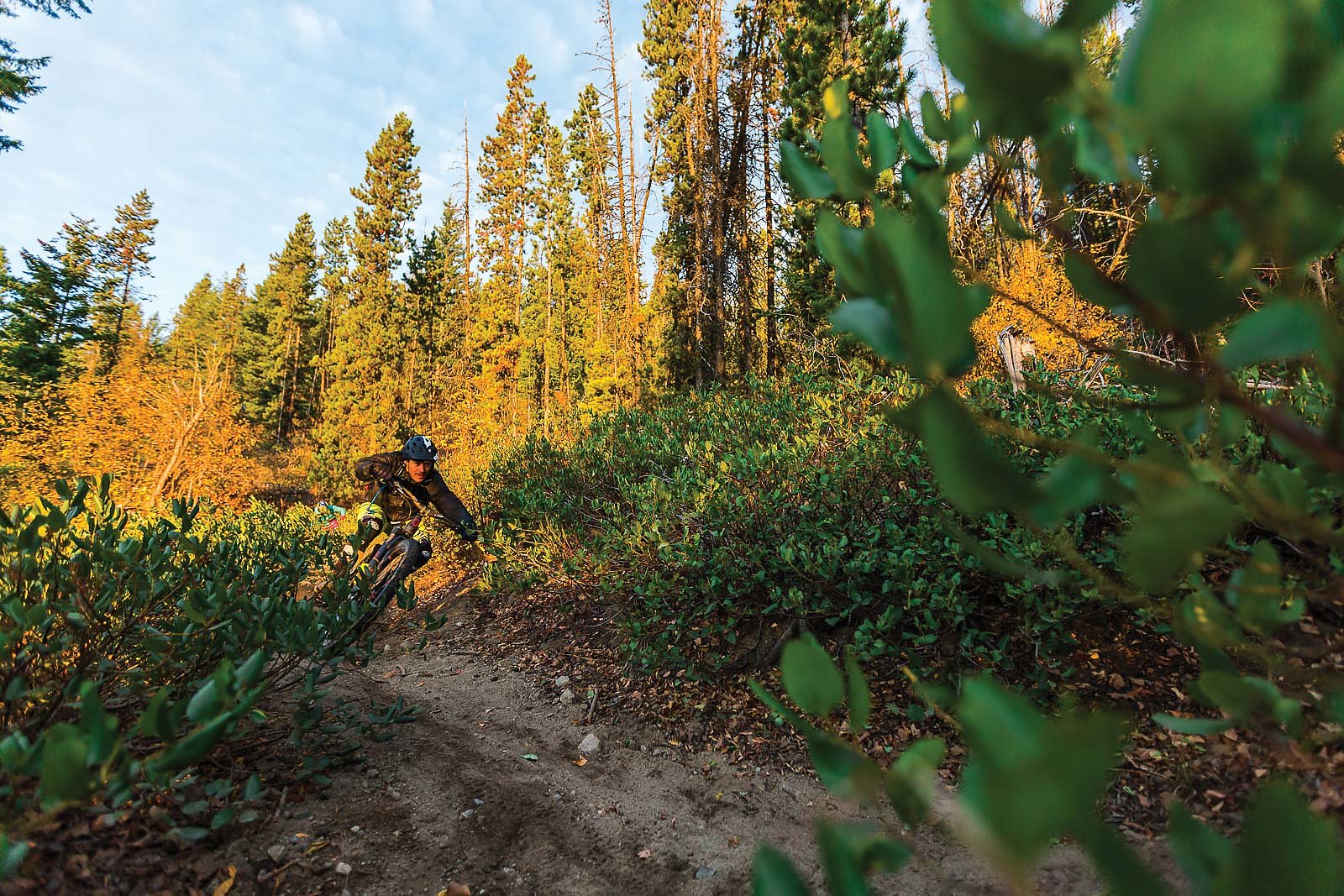
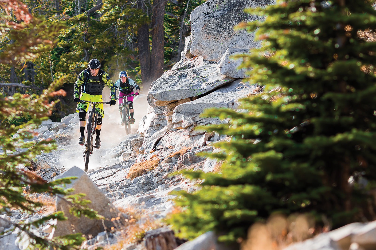
Due to the dry climate, the dirt on the east side is much different than that at home: it’s drifty and powdery, mixed with boulders and sandy, decomposed granite. Unfortunately, after a summer of dirt bike tires and horse hooves, a two-inch layer of dust covers everything. It makes for a grind of a climb, but on the way down it’s like floating—as long as you’re not too close behind your riding partner.
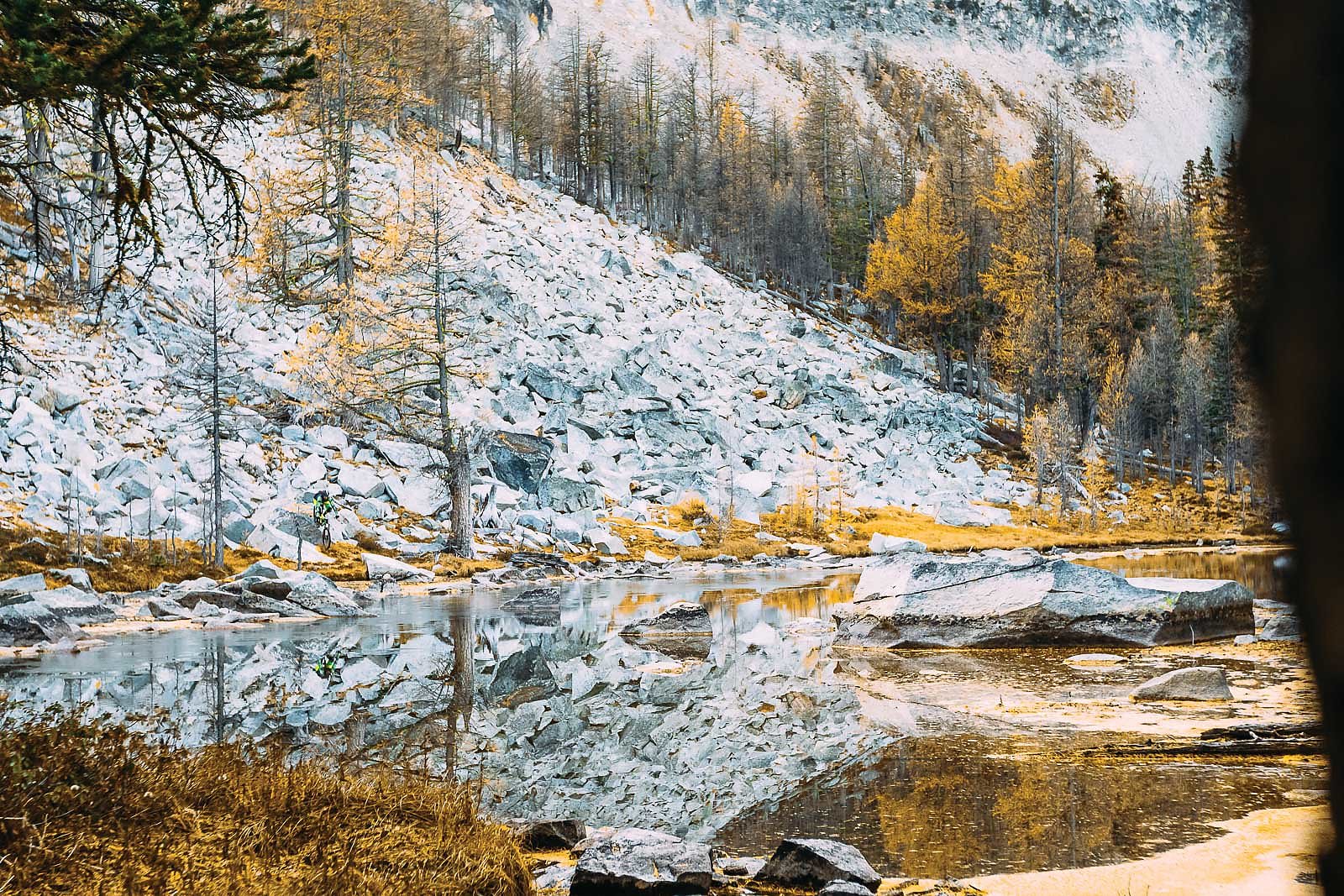
The loop veers left, toward the clear, blue kidney bean of Cooney Lake. The pedal up is a gauntlet of beautiful scree fields, subalpine fir, fall colors and a ring of 8,000-plus-foot peaks, and the infamous ascent to Angel’s Staircase proper begins soon after. It climbs like a zipper toward a rocky ridgeline and, on a clear day, views of Glacier Peak and Mt. Rainier.
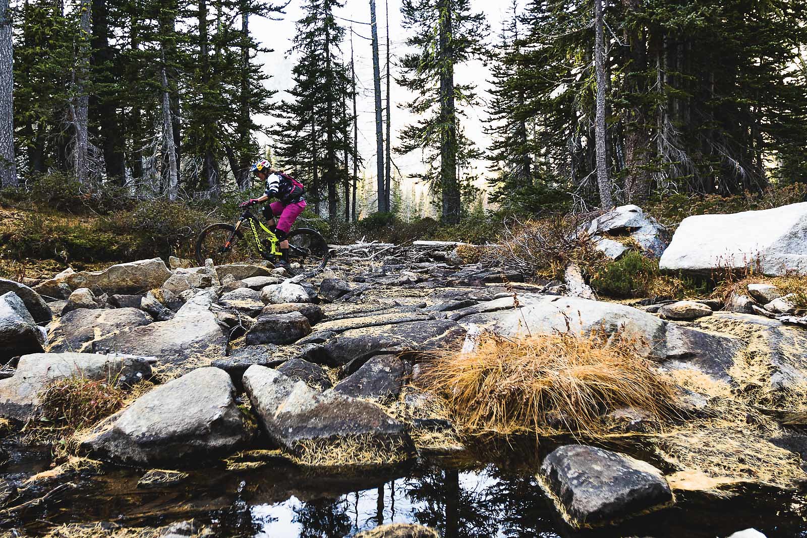
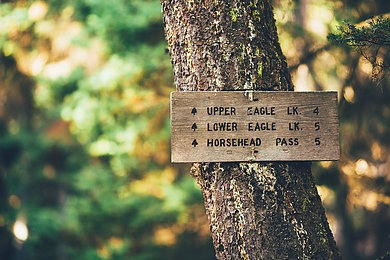
It’s a hike-a-bike to the top of Angel’s, which then tumbles and winds its way through a techy rock field to the Summit Trail below—a buff section of singletrack across miles of expansive alpine meadows. The trail splits at the picturesque pothole of Boiling Lake—to the left is wilderness area, to the right are the vicious switchbacks leading up to Horsehead Pass, the final push of the loop.
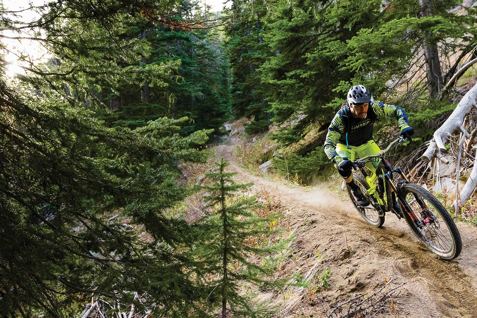
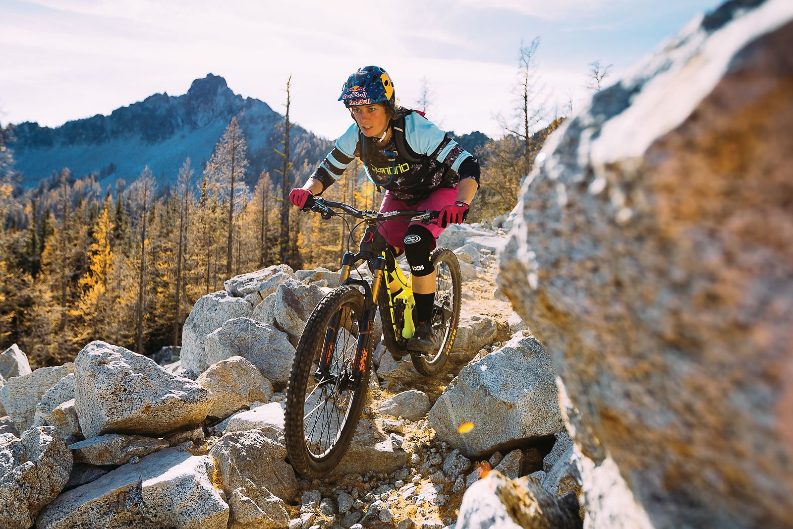
It’s a struggle worth the effort. Toothy ridges wander off in both directions, and alpine lakes sit on either side of the pass. It’s all downhill from there—more than seven miles and 3,000 feet of glorious, high-speed east side downhill, a mix of flowy, wide-open sections and rocky tech that finishes right at the campground.
Unfortunately, we didn’t complete the entire loop. Instead of Cooney Lake, we decided to head to Eagle Lakes. Between taking photos and taking in the views we figured that descent was enough—we were here for a slower pace, and we made sure to take it. But the climb toward Horsehead Pass, a steep silhouette against the blue afternoon sky, left us wishing we had more time.
The Sprinter and dinner awaited us below, and we spent the evening enjoying the crackling pine and quiet, clear night. In the morning, we once again headed west towards emails and airports. But wherever we might be, this was still our backyard—a land of golden larches, red-trunked ponderosas and the smells of dusty trail and smoldering wood.